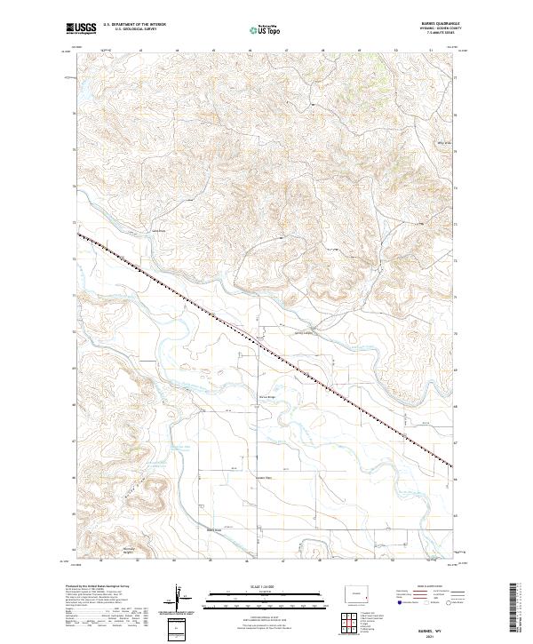
2021 Map of Barnes
USGS Topo · Published 2021About this map
The North Platte River carves a winding path through this Goshen County landscape, anchoring a complex system of agricultural water management. The terrain is defined by the heavy infrastructure of the Interstate Canal and Fort Laramie Canal, which parallel the river's course to support the local ranching and farming economy. Settlements like Barnes and London Flats are positioned along these corridors, where irrigation projects like the Grattan Ditch and the Detention Dike B-3 Reservoir manage the flow from the high plains. North of the river, the landscape rises into a series of drainages and landmarks including Spring Canyon, Sand Draw, and Pine Ridge Cr. This 2021 survey illustrates how the modern rural Wyoming grid, represented by Co RD 63 and RD 23, facilitates movement between small communities like Harmony Heights and the vital water crossings at Barnes Bridge.
Find a feature on this map
32 named features on this map. Tap any name to fly to it.
Don’t see what you’re looking for? This feature index may not catch every label — zoom into the map to look around manually.
Map Details
Editions of this 2021 Barnes Map
This is the sole edition of this map. No revisions or reprints were ever made.
Other maps of this area

1896 · Patrick
USGS Topo · 1:125,000

1896 · Hartville
USGS Topo · 1:125,000

1901 · Hartville
USGS Topo · 1:125,000

1950 · Rockeagle
USGS Topo · 1:24,000

1950 · Casebier Hill
USGS Topo · 1:24,000

1950 · Fort Laramie
USGS Topo · 1:24,000

1952 · Fort Laramie
USGS Topo · 1:24,000

1954 · Torrington
USGS Topo · 1:250,000

1958 · Torrington
USGS Topo · 1:250,000

1960 · Habig Spring
USGS Topo · 1:24,000