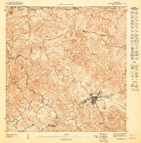
1947 Map of Barranquitas SE
USGS Topo · Published 1947About this map
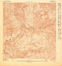
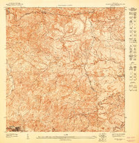
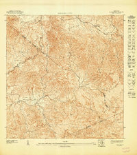
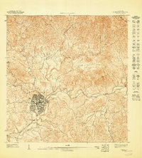
Aibonito serves as the central hub for this mid-century topographic survey, where the town's early grid system meets the dramatic elevation changes of the Cordillera Central. The landscape is defined by its complex drainage network, including the headwaters of the Río Usabón and the Quebrada de Aibonito, which carve deep paths through the surrounding heights. High points such as Piedra de Degetau emphasize the altitude that gave this region its reputation as the "Fridge of Puerto Rico."
Find a feature on this map
12 named features on this map. Tap any name to fly to it.
Don’t see what you’re looking for? This feature index may not catch every label — zoom into the map to look around manually.
Map Details
Editions of this 1947 Barranquitas SE Map
This is the sole edition of this map. No revisions or reprints were ever made.
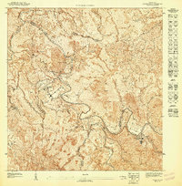
Other maps of this area

1946 · Coamo
USGS Topo · 1:30,000

1946 · Barranquitas
USGS Topo · 1:30,000

1946 · Cayey
USGS Topo · 1:30,000

1946 · Comerio
USGS Topo · 1:30,000
1947 · Cayey NO
USGS Topo · 1:10,000
1947 · Barranquitas NE
USGS Topo · 1:10,000
1947 · Coamo NE
USGS Topo · 1:10,000
1947 · Coamo NO
USGS Topo · 1:10,000
1947 · Comerio SO
USGS Topo · 1:10,000
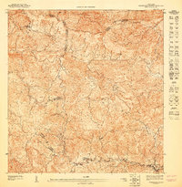
1947 · Barranquitas NO
USGS Topo · 1:10,000
Featured Places
- Aibonito, Aibonito
- Barranquitas, Barranquitas
- Sector Los Pinos, Aibonito
- Villa Verde, Aibonito
- Colinas del Paraíso, Aibonito