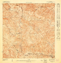
1947 Map of Barranquitas NO
USGS Topo · Published 1947About this map
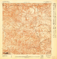
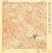
Montañas peaks and steep ravines dominate this interior landscape, where the Río Botijas and Río Cañabón carve through the center of the island. These waters eventually feed into the Río Grande as they traverse the jagged topography. The map captures a moment in the mid-1940s when educational infrastructure was expanding into rural areas, anchored by the Escuela Segunda Unidad de Botijas No. 2 and the Escuela Segunda Unidad de Palo Hincado. These "Second Unit" schools were pivotal rural centers designed to provide both academic and vocational training, reflecting a specific era of Puerto Rican social and educational policy. High points like La Torrecilla overlook a complex network of municipal boundaries where the Municipio de Barranquitas meets its neighbors in Orocovis and Corozal.
Find a feature on this map
13 named features on this map. Tap any name to fly to it.
Don’t see what you’re looking for? This feature index may not catch every label — zoom into the map to look around manually.
Map Details
Editions of this 1947 Barranquitas NO Map
This is the sole edition of this map. No revisions or reprints were ever made.
Other maps of this area

1946 · Corozal
USGS Topo · 1:30,000

1946 · Barranquitas
USGS Topo · 1:30,000

1946 · Ciales
USGS Topo · 1:30,000

1946 · Orocovis
USGS Topo · 1:30,000

1947 · Corozal SO
USGS Topo · 1:10,000
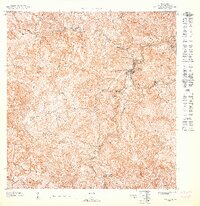
1947 · Orocovis NE
USGS Topo · 1:10,000
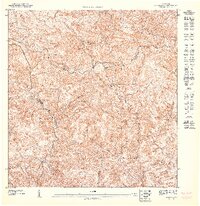
1947 · Orocovis SE
USGS Topo · 1:10,000
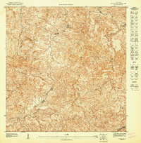
1947 · Corozal SE
USGS Topo · 1:10,000
1947 · Barranquitas NE
USGS Topo · 1:10,000
1947 · Barranquitas SE
USGS Topo · 1:10,000
Featured Places
- Botijas I (Sector Parcelas), Orocovis
- Sector La Pista, Orocovis
- Sector Los Zayas, Barranquitas
- Corozal
- Bauta Arriba, Orocovis