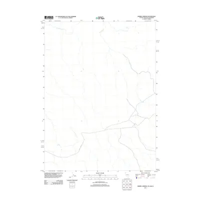
2011 Map of Barrel Springs
USGS Topo · Published 2011About this map
Barrel Springs and Coleman Spring mark vital water points in this arid borderland where Nevada, Oregon, and California meet. The 2011 landscape is defined by its drainage patterns, with Horse Creek winding through the center and Twelvemile Creek crossing the northern reaches. This high-desert terrain shows a sparse network of human infrastructure, centered largely on the path of Barrel Springs Rd and the presence of small water bodies like Twin Lakes. The map documents a rugged corner of Washoe County where historical cattle-ranging or nomadic travel likely relied on these specific, named springs for survival in an otherwise water-scarce environment.
Find a feature on this map
6 named features on this map. Tap any name to fly to it.
Don’t see what you’re looking for? This feature index may not catch every label — zoom into the map to look around manually.
Map Details
Editions of this 2011 Barrel Springs Map
This is the sole edition of this map. No revisions or reprints were ever made.
Other maps of this area

1886 · Alturas
USGS Topo · 1:250,000

1889 · Long Valley
USGS Topo · 1:250,000

1892 · Alturas
USGS Topo · 1:250,000

1954 · Vya
USGS Topo · 1:250,000

1954 · Alturas
USGS Topo · 1:250,000

1955 · Klamath Falls
USGS Topo · 1:250,000

1955 · Adel
USGS Topo · 1:250,000

1957 · Adel
USGS Topo · 1:250,000

1958 · Alturas
USGS Topo · 1:250,000

1958 · Klamath Falls
USGS Topo · 1:250,000