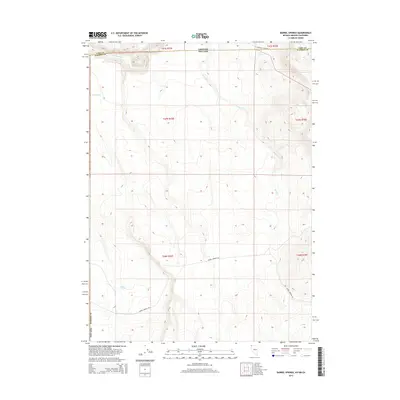
2015 Map of Barrel Springs
USGS Topo · Published 2015About this map
Barrel Springs and Coleman Spring anchor this high-desert terrain where the borders of Nevada, Oregon, and California meet. The map documents a landscape defined by seasonal water and remote access, centered on the Barrel Springs Rd corridor. In the northern reaches, Twentymile Cr and Twin Lakes suggest a persistent hydrology rare for the region, while Horse Cr cuts through the high elevation near the Lake County and Washoe County line. This 2015 survey illustrates the enduring rural character of the tri-state corner, showing a network of drainage and springs that have long dictated the movement of people and livestock across these upland basins.
Find a feature on this map
16 named features on this map. Tap any name to fly to it.
Don’t see what you’re looking for? This feature index may not catch every label — zoom into the map to look around manually.
Map Details
Editions of this 2015 Barrel Springs Map
This is the sole edition of this map. No revisions or reprints were ever made.
Other maps of this area

1886 · Alturas
USGS Topo · 1:250,000

1889 · Long Valley
USGS Topo · 1:250,000

1892 · Alturas
USGS Topo · 1:250,000

1954 · Vya
USGS Topo · 1:250,000

1954 · Alturas
USGS Topo · 1:250,000

1955 · Klamath Falls
USGS Topo · 1:250,000

1955 · Adel
USGS Topo · 1:250,000

1957 · Adel
USGS Topo · 1:250,000

1958 · Alturas
USGS Topo · 1:250,000

1958 · Klamath Falls
USGS Topo · 1:250,000