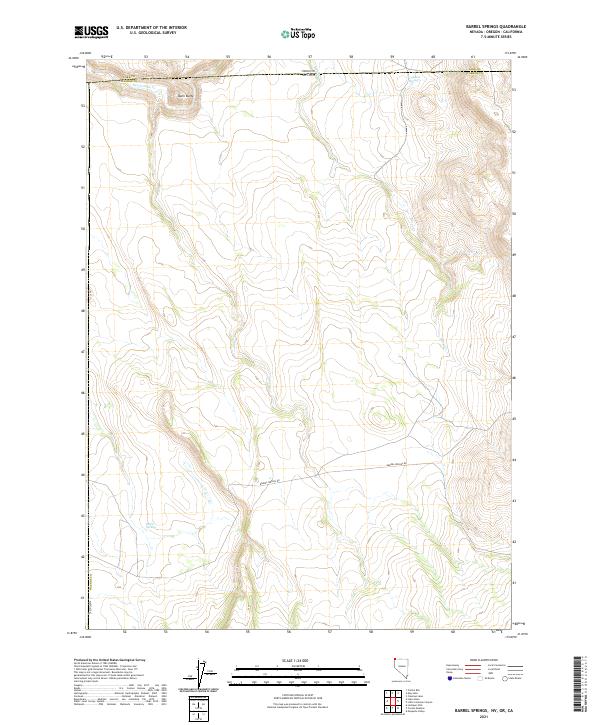
2021 Map of Barrel Springs
USGS Topo · Published 2021About this map
The High Desert borderlands where Nevada, Oregon, and California meet are defined by isolated water sources and sharp topographic rises. This modern survey of the Barrel Springs area in northern Washoe Co shows a landscape deeply shaped by the Public Land Survey System, with township and range lines cutting across high plateaus and drainage systems. Centered on the namesake Barrel Springs, the map tracks the path of Barrel Springs Rd as it winds through high-altitude terrain north of the state line. Notable landmarks include the prominent Dunn Butte near the northern boundary and the intermittent flow of Twelvemile Cr and Horse Cr. These features, alongside Coleman Spring, represent the vital water points that have historically supported ranching and transit in this arid corner of the Great Basin.
Find a feature on this map
17 named features on this map. Tap any name to fly to it.
Don’t see what you’re looking for? This feature index may not catch every label — zoom into the map to look around manually.
Map Details
Editions of this 2021 Barrel Springs Map
This is the sole edition of this map. No revisions or reprints were ever made.
Other maps of this area

1886 · Alturas
USGS Topo · 1:250,000

1889 · Long Valley
USGS Topo · 1:250,000

1892 · Alturas
USGS Topo · 1:250,000

1954 · Vya
USGS Topo · 1:250,000

1954 · Alturas
USGS Topo · 1:250,000

1955 · Klamath Falls
USGS Topo · 1:250,000

1955 · Adel
USGS Topo · 1:250,000

1957 · Adel
USGS Topo · 1:250,000

1958 · Alturas
USGS Topo · 1:250,000

1958 · Klamath Falls
USGS Topo · 1:250,000