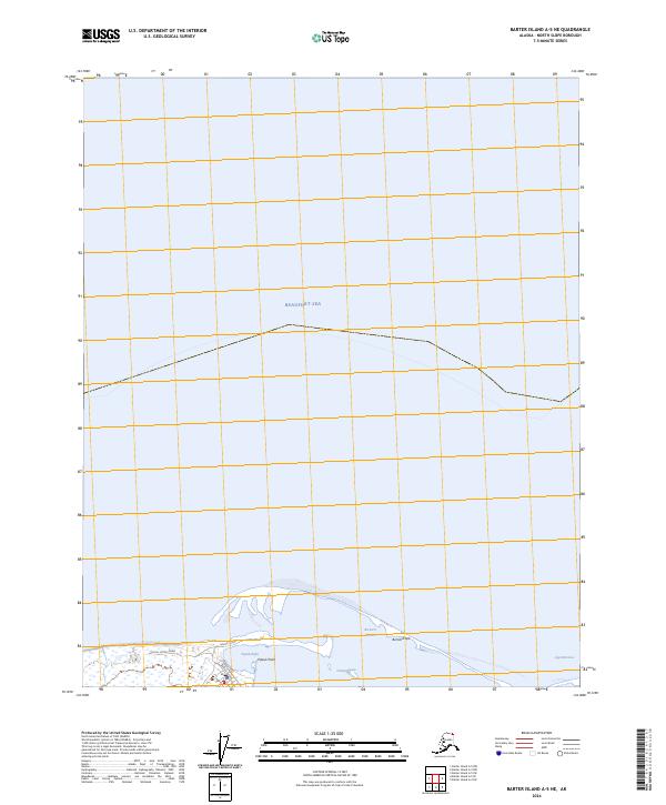
2024 Map of Barter Island A-5 NE
USGS Topo · Published 2024About this map
The Arctic National Wildlife Refuge encompasses the coastal landscape shown here, where the land meets the Beaufort Sea along the northern edge of Alaska. This coastal interface is defined by shifting gravel and sand formations, including Bernard Spit and Pipsuk Point, which protect the inner waters of Bernard Harbor and Pipsuk Bight. These features suggest a dynamic environment shaped by ice and tide, critical for local navigation and wildlife.
Find a feature on this map
14 named features on this map. Tap any name to fly to it.
Don’t see what you’re looking for? This feature index may not catch every label — zoom into the map to look around manually.
Map Details
Editions of this 2024 Barter Island A-5 NE Map
This is the sole edition of this map. No revisions or reprints were ever made.
Other maps of this area

1951 · Barter Island
USGS Topo · 1:250,000

1955 · Barter Island A-5
USGS Topo · 1:63,360

1955 · Barter Island A-4
USGS Topo · 1:63,360

1959 · Barter Island
USGS Topo · 1:250,000
1964 · Barter Island
USGS Topo · 1:250,000
2018 · Barter Island A-5 NW
USGS Topo · 1:25,000
2018 · Barter Island A-5 SW
USGS Topo · 1:25,000
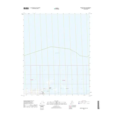
2018 · Barter Island A-5 NE
USGS Topo · 1:25,000
2018 · Barter Island A-5 SE
USGS Topo · 1:25,000
2018 · Barter Island A-4 SW
USGS Topo · 1:25,000