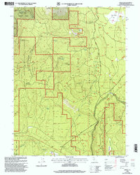
1998 Map of Bartle
USGS Topo · Published 2003About this map
The Shasta-Trinity National Forests dominate this high-altitude terrain at the end of the 20th century, where volcanic features and seasonal water sources dictate the placement of human outposts. From the Snow Survey Cabin beneath the heights of Buck Mountain to the remote logging or firefighting base at Stagger Camp, the map documents a landscape primarily used for natural resource management. This edition, revised by the Forest Service in 1998, reveals a dense network of forest service roads and tracks crossing through Shirtail Canyon and across the Bartle Meadows.
Find a feature on this map
33 named features on this map. Tap any name to fly to it.
Don’t see what you’re looking for? This feature index may not catch every label — zoom into the map to look around manually.
Map Details
Editions of this 1998 Bartle Map
This is the sole edition of this map. No revisions or reprints were ever made.
Other maps of this area

1886 · Modoc Lava Bed
USGS Topo · 1:250,000

1892 · Modoc Lava-Bed
USGS Topo · 1:250,000
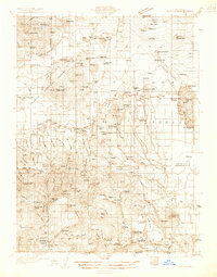
1932 · Bartle
USGS Topo · 1:96,000
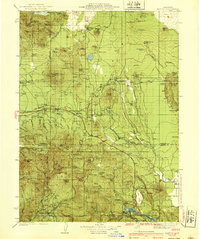
1939 · Bartle
USGS Topo · 1:125,000

1954 · Alturas
USGS Topo · 1:250,000

1958 · Alturas
USGS Topo · 1:250,000
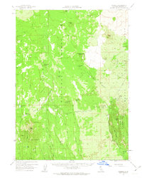
1961 · Hambone
USGS Topo · 1:62,500
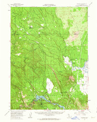
1961 · Pondosa
USGS Topo · 1:62,500
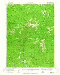
1961 · Big Bend
USGS Topo · 1:62,500
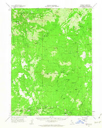
1961 · Bartle
USGS Topo · 1:62,500