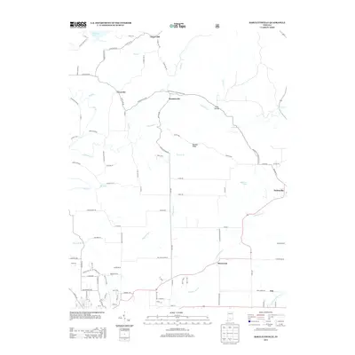
2013 Map of Bartlettsville
USGS Topo · Published 2013About this map
Bartlettsville and the surrounding rural communities of Lawrence County are defined by a network of creeks and ridges just south of Monroe Lake. The landscape is characterized by the winding paths of Salt Cr and Little Salt Cr, which carve through the terrain near Ramsey Ridge. This 2013 survey illustrates the persistence of small settlements like Coveyville, Chapel Hill, and Heltonville along established corridors such as the Heltonville Bartlettsville Rd.
Find a feature on this map
103 named features on this map. Tap any name to fly to it.
Don’t see what you’re looking for? This feature index may not catch every label — zoom into the map to look around manually.
Map Details
Editions of this 2013 Bartlettsville Map
This is the sole edition of this map. No revisions or reprints were ever made.
Other maps of this area
1908 · Bloomington
USGS Topo · 1:48,000
1910 · Bloomington
USGS Topo · 1:62,500
1934 · Bedford
USGS Topo · 1:48,000
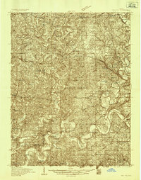
1935 · Oolitic
USGS Topo · 1:48,000
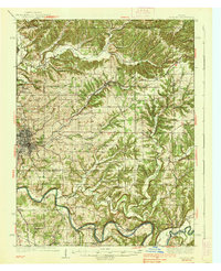
1937 · Bedford
USGS Topo · 1:62,500

1942 · Franklin
USGS Topo · 1:125,000
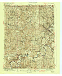
1942 · Oolitic
USGS Topo · 1:62,500
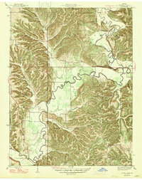
1947 · Allens Creek
USGS Topo · 1:24,000
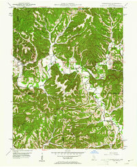
1947 · Elkinsville
USGS Topo · 1:24,000
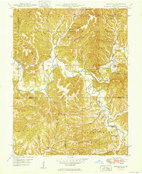
1950 · Elkinsville
USGS Topo · 1:24,000