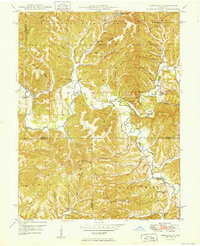
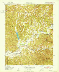
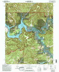
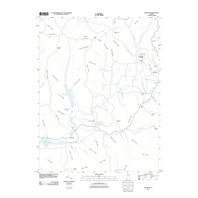
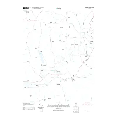
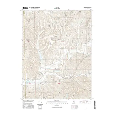
1950 Map of Elkinsville
USGS Topo · Published 1950About this map
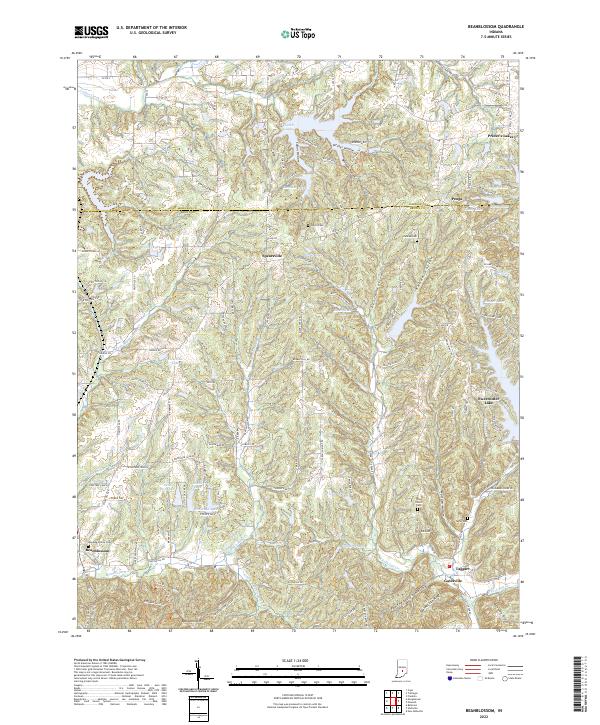
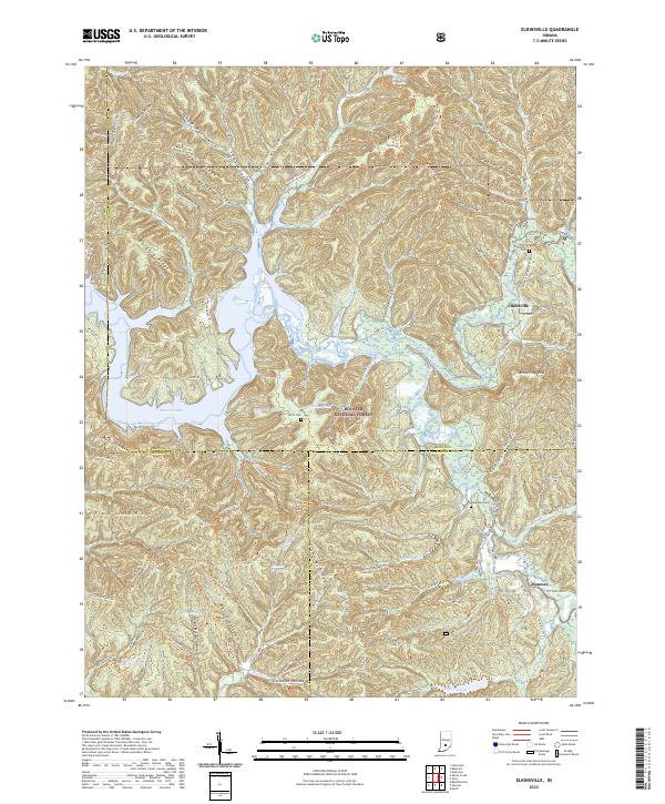
Salt Creek and its many winding tributaries define this mid-century landscape in southern Indiana, where rural life is centered around small crossroads and family landmarks. The settlement of Elkinsville stands near the confluence of the Middle Fork Salt Creek and South Fork Salt Creek, served by the Elkinsville Cem. Further south, the community of Maumee is marked by the Maumee Sch and nearby Bethel Ch.
Find a feature on this map
53 named features on this map. Tap any name to fly to it.
Don’t see what you’re looking for? This feature index may not catch every label — zoom into the map to look around manually.
Map Details
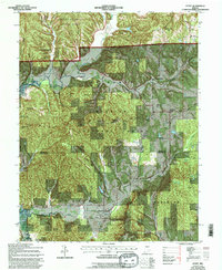
Editions of this 1950 Elkinsville Map
This is the sole edition of this map. No revisions or reprints were ever made.
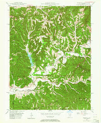
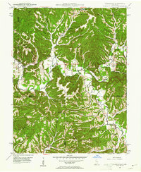
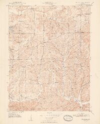
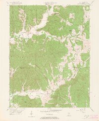
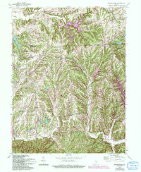
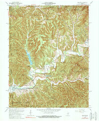
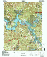
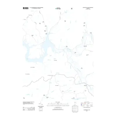
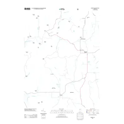
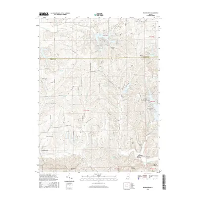
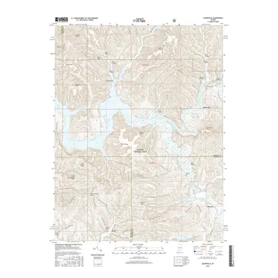
Historical Maps of Maumee Through Time
32 maps found
1946 Belmont
Brown County, IN
1947 Elkinsville
Brown County, IN
1948 Fruitdale
Brown County, IN
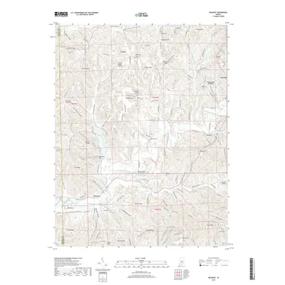
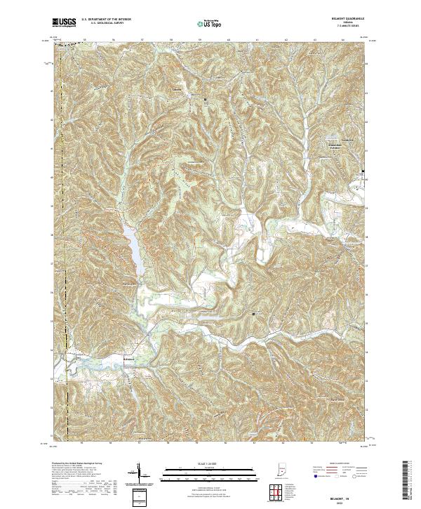
1950 Belmont
Brown County, IN
1950 Elkinsville
Brown County, IN
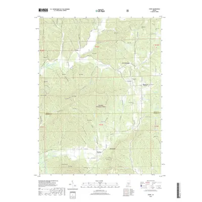
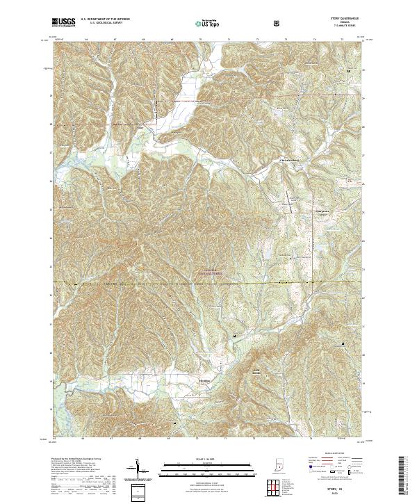
1956 Story
Brown County, IN
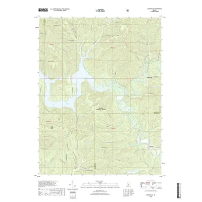
1962 Beanblossom
Brown County, IN
1966 Belmont
Brown County, IN
1966 Elkinsville
Brown County, IN
1967 Story
Brown County, IN
1993 Elkinsville
Brown County, IN

1998 Belmont
Brown County, IN
2010 Beanblossom
Brown County, IN
2011 Belmont
Brown County, IN
2011 Elkinsville
Brown County, IN
2011 Story
Brown County, IN
2013 Beanblossom
Brown County, IN
2013 Belmont
Brown County, IN
2013 Elkinsville
Brown County, IN
2013 Story
Brown County, IN
2016 Beanblossom
Brown County, IN
2016 Belmont
Brown County, IN
2016 Elkinsville
Brown County, IN
2016 Story
Brown County, IN
2019 Beanblossom
Brown County, IN
2019 Belmont
Brown County, IN
2019 Elkinsville
Brown County, IN
2019 Story
Brown County, IN
2022 Beanblossom
Brown County, IN
2022 Belmont
Brown County, IN
2022 Elkinsville
Brown County, IN
2022 Story
Brown County, IN