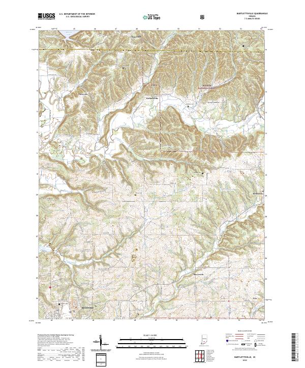
2022 Map of Bartlettsville
USGS Topo · Published 2022About this map
Bartlettsville sits at the heart of this landscape, surrounded by the wooded ridges and creek valleys of northern Lawrence County. To the northeast, the Hoosier National Forest covers the terrain near Sipes Hollow and Ramsey Ridge, while the southern reaches of Monroe Lake touch the northern boundary. The area's history is preserved through a network of family and community burial sites, including Covey Cem, Hawkins Cem, and Tanksley Cem.
Find a feature on this map
96 named features on this map. Tap any name to fly to it.
Don’t see what you’re looking for? This feature index may not catch every label — zoom into the map to look around manually.
Map Details
Editions of this 2022 Bartlettsville Map
This is the sole edition of this map. No revisions or reprints were ever made.
Other maps of this area

1908 · Bloomington
USGS Topo · 1:48,000

1910 · Bloomington
USGS Topo · 1:62,500

1934 · Bedford
USGS Topo · 1:48,000

1935 · Oolitic
USGS Topo · 1:48,000

1937 · Bedford
USGS Topo · 1:62,500

1942 · Franklin
USGS Topo · 1:125,000

1942 · Oolitic
USGS Topo · 1:62,500

1947 · Allens Creek
USGS Topo · 1:24,000

1947 · Elkinsville
USGS Topo · 1:24,000
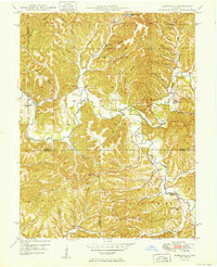
1950 · Elkinsville
USGS Topo · 1:24,000