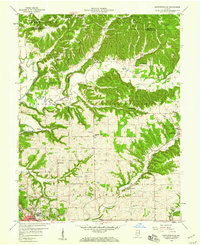
1958 Map of Bartlettsville
USGS Topo · Published 1959About this map
Hoosier National Forest covers much of this landscape, where the deeply dissected terrain of Lawrence and Monroe counties meets the valley of Salt Creek. In the late 1950s, small communities such as Bartlettsville, Heltonville, and Chapel Hill served as local hubs, connected by a network of rural roads and the Monon railroad. The map documents a rural society deeply rooted in its local institutions, from Township Sch to numerous hilltop houses of worship like Donica Memorial Ch and Ramsey Ridge Ch.
Find a feature on this map
42 named features on this map. Tap any name to fly to it.
Don’t see what you’re looking for? This feature index may not catch every label — zoom into the map to look around manually.
Map Details
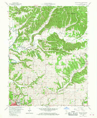
Editions of this 1958 Bartlettsville Map
2 editions found
Other maps of this area

1908 · Bloomington
USGS Topo · 1:48,000

1910 · Bloomington
USGS Topo · 1:62,500

1934 · Bedford
USGS Topo · 1:48,000

1935 · Oolitic
USGS Topo · 1:48,000

1937 · Bedford
USGS Topo · 1:62,500

1942 · Franklin
USGS Topo · 1:125,000

1942 · Oolitic
USGS Topo · 1:62,500

1947 · Allens Creek
USGS Topo · 1:24,000

1947 · Elkinsville
USGS Topo · 1:24,000
1950 · Elkinsville
USGS Topo · 1:24,000