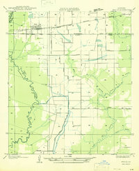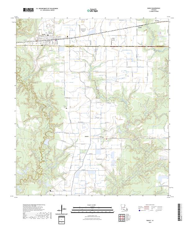
1949 Map of Basile
USGS Topo · Published 1949About this map
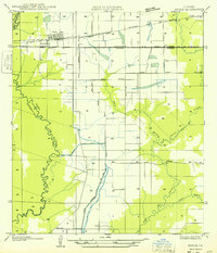
The town of Basile serves as the central hub of this 1949 survey, situated at the crossroads of several Louisiana parishes. The map captures a landscape defined by its intricate water systems, where the meandering course of Bayou Nezpique forms a natural boundary to the west, while Bayou des Cannes and Barwick Bayou cut through the eastern prairie. This area shows a transition from agricultural land to marshy lowlands, underscored by the presence of the Mamou Canal and the Kaplan Pump Sta, which highlight the importance of water management and irrigation to the local economy during the mid-20th century.
Find a feature on this map
21 named features on this map. Tap any name to fly to it.
Don’t see what you’re looking for? This feature index may not catch every label — zoom into the map to look around manually.
Map Details
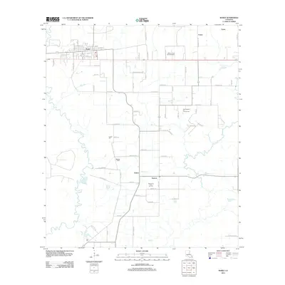
Editions of this 1949 Basile Map
This is the sole edition of this map. No revisions or reprints were ever made.
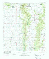
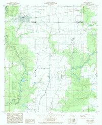
Historical Maps of Basile Through Time
9 maps found