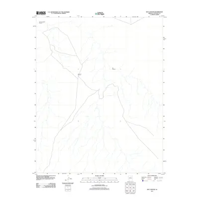
2011 Map of Bat Canyon
USGS Topo · Published 2011About this map
Sleepy Hill Windmill stands as a focal point in this high desert landscape within Coconino County, marking the sparse human presence amidst a network of intricate drainage systems. The terrain is defined by the deep incisions of Ha Ho No Geh Canyon in the northwest and the namesake Bat Canyon that winds through the central portion of the sheet. Water remains a critical and rare resource in this region, highlighted by the location of Nez Spring, which serves as a vital point of interest for understanding the hydrology of the area. This 2011 survey illustrates the subtle intersection of ranching infrastructure and the natural desert geometry, capturing a moment when traditional land use continues in an environment dictated by seasonal water flows and remote topography.
Find a feature on this map
4 named features on this map. Tap any name to fly to it.
Don’t see what you’re looking for? This feature index may not catch every label — zoom into the map to look around manually.
Map Details
Editions of this 2011 Bat Canyon Map
This is the sole edition of this map. No revisions or reprints were ever made.
Other maps of this area

1883 · Marsh Pass
USGS Topo · 1:250,000

1883 · Tusayan
USGS Topo · 1:250,000

1886 · Tusayan
USGS Topo · 1:250,000

1886 · San Francisco Mtns
USGS Topo · 1:250,000

1886 · Echo Cliffs
USGS Topo · 1:250,000

1891 · San Francisco Mtns
USGS Topo · 1:250,000

1891 · Echo Cliffs
USGS Topo · 1:250,000

1892 · Marsh Pass
USGS Topo · 1:250,000

1894 · San Francisco Mtns
USGS Topo · 1:250,000

1899 · San Francisco Mtns
USGS Topo · 1:250,000