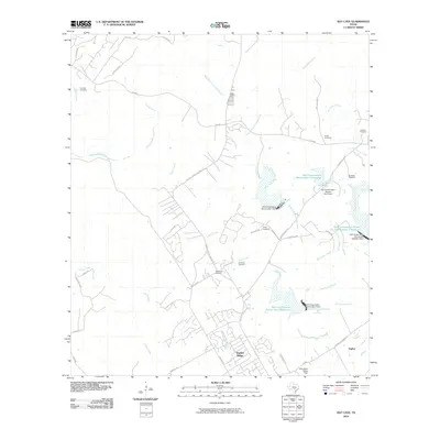
2010 Map of Bat Cave
USGS Topo · Published 2010About this map
Garden Ridge and the nearby settlement of Ogden anchor this landscape along the Comal and Bexar county line during a period of suburban transition. The terrain is defined by the drainage of Cibolo Creek and the intricate network of the Dry Comal Creek forks, managed by several infrastructure projects including Soil Conservation Service Site 4 Dam and its associated reservoir. For genealogists, the map is particularly detailed regarding family burial grounds, documenting several small plots such as Romple Cemetery, Hillert Cemetery, Kruestler Cemetery, and Wellbacher Cemetery. The presence of the Ohlrich Ranch and the Kitty Hawk Flying Field reflects the area's mix of traditional ranching roots and modern aviation. Transport routes like Old Nacogdoches Rd and Natural Bridge Caverns Rd trace the path of local commerce and tourism through the limestone-cut creek beds.
Find a feature on this map
47 named features on this map. Tap any name to fly to it.
Don’t see what you’re looking for? This feature index may not catch every label — zoom into the map to look around manually.
Map Details
Editions of this 2010 Bat Cave Map
This is the sole edition of this map. No revisions or reprints were ever made.
Other maps of this area

1920 · Smithsons Valley
USGS Topo · 1:62,500

1925 · Hunter No 3
USGS Topo · 1:48,000

1927 · New Braunfels
USGS Topo · 1:62,500

1927 · Smithson Valley
USGS Topo · 1:62,500

1929 · Hunter
USGS Topo · 1:62,500

1929 · Smithson Valley
USGS Topo · 1:62,500

1940 · Smithson Valley
USGS Topo · 1:62,500

1953 · Schertz
USGS Topo · 1:24,000

1953 · Bulverde
USGS Topo · 1:24,000

1953 · Bat Cave
USGS Topo · 1:24,000