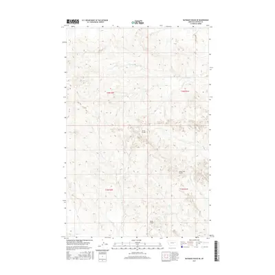
2017 Map of Bateman Coulee NE
USGS Topo · Published 2017About this map
Spring Coulee and Seven Tree Coulee define the complex, eroded drainage basins within Garfield County on this 2017 survey. The landscape is characterized by its dramatic relief and a sparse network of seasonal watercourses, including the E Fork Woody Cr in the northern reaches and Frazier Cr at the southern edge. The map captures the remote character of the Missouri River plateau, illustrating the Public Land Survey System grid across T19N and T20N. This modern digital survey reflects a terrain largely unchanged by industrial development, where named geographic features like Sonny Coulee, First Cr, and Kelly Cr serve as the primary landmarks for navigation and land management in this cattle-ranching region of Montana.
Find a feature on this map
11 named features on this map. Tap any name to fly to it.
Don’t see what you’re looking for? This feature index may not catch every label — zoom into the map to look around manually.
Map Details
Editions of this 2017 Bateman Coulee NE Map
This is the sole edition of this map. No revisions or reprints were ever made.
Other maps of this area

1954 · Jordan
USGS Topo · 1:250,000

1956 · Jordan
USGS Topo · 1:250,000

1958 · Jordan
USGS Topo · 1:250,000

1964 · Jordan
USGS Topo · 1:250,000

1964 · Ada Creek
USGS Topo · 1:24,000

1964 · Bateman Coulee
USGS Topo · 1:24,000

1964 · Black John Coulee
USGS Topo · 1:24,000

1964 · Bateman Coulee NE
USGS Topo · 1:24,000

1967 · Hagen Gap
USGS Topo · 1:24,000
1967 · Maxwell Coulee
USGS Topo · 1:24,000