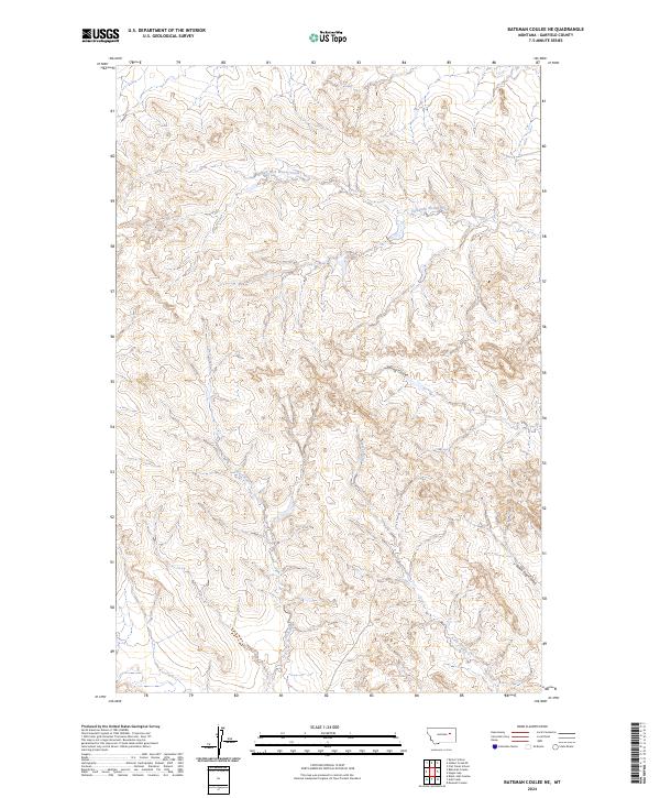
2024 Map of Bateman Coulee NE
USGS Topo · Published 2024About this map
East Fork Woody Creek and its surrounding drainage systems define this landscape in Garfield County. The terrain is characterized by a dense network of coulees and intermittent streams, including Spring Coulee and Seven Tree Coulee, which highlight the complex erosion patterns typical of the Montana plains. These watercourses serve as the primary landmarks in an area dominated by large-scale land divisions, such as t20n r41e and t19n r40e. The map illustrates a rural environment where water management and topography remain central to the local geography. Significant drainages like First Creek and Kelly Creek provide critical orientation points across the expansive rangeland.
Find a feature on this map
9 named features on this map. Tap any name to fly to it.
Don’t see what you’re looking for? This feature index may not catch every label — zoom into the map to look around manually.
Map Details
Editions of this 2024 Bateman Coulee NE Map
This is the sole edition of this map. No revisions or reprints were ever made.
Other maps of this area

1954 · Jordan
USGS Topo · 1:250,000

1956 · Jordan
USGS Topo · 1:250,000

1958 · Jordan
USGS Topo · 1:250,000

1964 · Jordan
USGS Topo · 1:250,000

1964 · Ada Creek
USGS Topo · 1:24,000

1964 · Bateman Coulee
USGS Topo · 1:24,000

1964 · Black John Coulee
USGS Topo · 1:24,000

1964 · Bateman Coulee NE
USGS Topo · 1:24,000

1967 · Hagen Gap
USGS Topo · 1:24,000
1967 · Maxwell Coulee
USGS Topo · 1:24,000