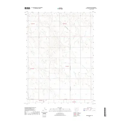
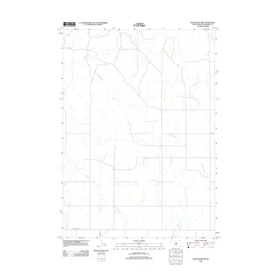
2017 Map of Batesland NW
USGS Topo · Published 2017About this map
The high plains of Oglala Lakota County are defined by the winding course of the Little White River and its seasonal tributaries in this 2017 survey. The landscape is a network of intermittent drainage and rural corridors, where Porcupine Cr and Stinking Water Cr cut through the undulating terrain of the Pine Ridge region. Transportation across these open lands relies on a grid of secondary routes, notably American Horse Creek Rd and Mouse Creek Rd, which provide access to remote ranching areas and residential clusters. The map illustrates the contemporary land management patterns within the Pine Ridge Indian Reservation, where township and range boundaries like t37n r41w overlay a landscape that remains largely defined by its natural hydrology and the persistent paths of local county roads.
Find a feature on this map
12 named features on this map. Tap any name to fly to it.
Don’t see what you’re looking for? This feature index may not catch every label — zoom into the map to look around manually.
Map Details
Editions of this 2017 Batesland NW Map
This is the sole edition of this map. No revisions or reprints were ever made.
Other maps of this area

1955 · Hot Springs
USGS Topo · 1:250,000

1967 · Wounded Knee
USGS Topo · 1:24,000

1967 · Denby
USGS Topo · 1:24,000
1981 · Wakpamani
USGS Topo · 1:25,000

1981 · Yellow Bear Camp
USGS Topo · 1:25,000

1981 · Evergreen
USGS Topo · 1:25,000
1981 · Batesland
USGS Topo · 1:25,000

1985 · Pine Ridge
USGS Topo · 1:100,000
2012 · Denby
USGS Topo · 1:24,000
2012 · Batesland NW
USGS Topo · 1:24,000