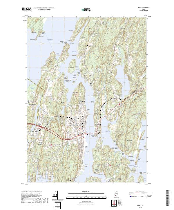
2024 Map of Bath
USGS Topo · Published 2024About this map
Bath occupies a complex coastal landscape defined by the tidal reaches of the Kennebec and surrounding waters. The settlement pattern follows the intricate shorelines of The Chops Passage and The Narrows, where the terrestrial and maritime worlds collide. This modern survey details the urban core of Bath alongside historical hamlets like Days Ferry and Woolwich, revealing how the local economy remains tied to the water. Significant genealogical resources are documented throughout the quadrangle, from the centrally located Dummer Street Cem and Oak Grove Cem to more secluded burial grounds like Laurel Grove Cem near Nequasset Lake. The map illustrates the region's administrative importance as the seat of the Sagadahoc County Superior Court, while tracing the fingers of land and islands like Lines Island and Thorne Island that dictate the area's navigational history.
Find a feature on this map
180 named features on this map. Tap any name to fly to it.
Don’t see what you’re looking for? This feature index may not catch every label — zoom into the map to look around manually.
Map Details
Editions of this 2024 Bath Map
This is the sole edition of this map. No revisions or reprints were ever made.
Other maps of this area

1892 · Gardiner
USGS Topo · 1:62,500

1893 · Wiscasset
USGS Topo · 1:62,500

1893 · Boothbay
USGS Topo · 1:62,500

1894 · Bath
USGS Topo · 1:62,500

1920 · Bath
USGS Topo · 1:62,500

1941 · Boothbay
USGS Topo · 1:62,500

1943 · Gardiner
USGS Topo · 1:62,500

1943 · Boothbay
USGS Topo · 1:62,500

1944 · Wiscasset
USGS Topo · 1:62,500

1944 · Boothbay
USGS Topo · 1:62,500