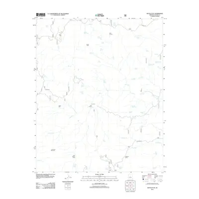
2012 Map of Battle Flat
USGS Topo · Published 2012About this map
Battle Flat and the surrounding high country of Yavapai County are defined by a complex network of canyons and water management features. The landscape is dominated by the massive profile of Tuscumbia Mountain to the southwest and Brady Butte to the north, with the terrain sliced by the deep cuts of Peck Canyon and Mule Canyon. Human presence is marked by the small settlements at Pine Flat and Goat Ranch, connected by forest roads like the Crown King Rd.
Find a feature on this map
62 named features on this map. Tap any name to fly to it.
Don’t see what you’re looking for? This feature index may not catch every label — zoom into the map to look around manually.
Map Details
Editions of this 2012 Battle Flat Map
This is the sole edition of this map. No revisions or reprints were ever made.
Other maps of this area

1887 · Prescott
USGS Topo · 1:250,000

1892 · Prescott
USGS Topo · 1:250,000

1903 · Bradshaw Mountains
USGS Topo · 1:125,000

1947 · Crown King
USGS Topo · 1:62,500

1947 · Bumblebee
USGS Topo · 1:62,500

1947 · Mayer
USGS Topo · 1:62,500

1947 · Mt. Union
USGS Topo · 1:62,500

1948 · Bumblebee
USGS Topo · 1:63,360

1948 · Crown King
USGS Topo · 1:63,360

1948 · Mt. Union
USGS Topo · 1:63,360