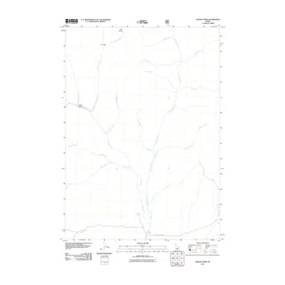
2011 Map of Baugh Creek
USGS Topo · Published 2011About this map
The Little Wood River meanders southward through this drainage basin in Blaine County, Idaho, serving as the central hydrological feature of the quadrangle. This 2011 survey documents a complex network of seasonal and perennial tributaries, including Baugh Creek, Chicken Creek, and Hailey Creek, which converge as they descend from the surrounding highlands. The layout of these waterways, coupled with named terrain features like Fisher Canyon and Drop Canyon, reveals the erosion-carved topography of the region.
Find a feature on this map
19 named features on this map. Tap any name to fly to it.
Don’t see what you’re looking for? This feature index may not catch every label — zoom into the map to look around manually.
Map Details
Editions of this 2011 Baugh Creek Map
This is the sole edition of this map. No revisions or reprints were ever made.
Other maps of this area

1895 · Hailey
USGS Topo · 1:125,000

1897 · Hailey
USGS Topo · 1:125,000

1935 · MacKay
USGS Topo · 1:96,000

1955 · Idaho Falls
USGS Topo · 1:250,000

1955 · Hailey
USGS Topo · 1:250,000

1958 · Idaho Falls
USGS Topo · 1:250,000

1959 · Hailey
USGS Topo · 1:250,000

1960 · Muldoon Canyon
USGS Topo · 1:62,500

1962 · Hailey
USGS Topo · 1:250,000

1967 · Baugh Creek SW
USGS Topo · 1:24,000