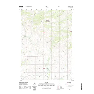
2020 Map of Baugh Creek
USGS Topo · Published 2020About this map
The Sawtooth National Forest dominates this section of Blaine County, where the southern reaches of the Pioneer Mountains meet a complex network of alpine drainage basins. The landscape is defined by the Little Wood River, which flows through the central valley, gathering dozens of tributaries including Baugh Cr, Chicken Cr, and Buck Cr. This topography reflects a high-elevation wilderness where water management and forest boundaries dictate the human footprint. Transportation is primarily limited to the southern edge of the quadrangle along Muldoon Canyon Rd, which follows the path of Muldoon Cr. Notable terrain features like Fisher Canyon and Drop Canyon illustrate the erosive power of the seasonal creeks feeding the main river system in this remote Idaho mountain range.
Find a feature on this map
31 named features on this map. Tap any name to fly to it.
Don’t see what you’re looking for? This feature index may not catch every label — zoom into the map to look around manually.
Map Details
Editions of this 2020 Baugh Creek Map
This is the sole edition of this map. No revisions or reprints were ever made.
Other maps of this area

1895 · Hailey
USGS Topo · 1:125,000

1897 · Hailey
USGS Topo · 1:125,000

1935 · MacKay
USGS Topo · 1:96,000

1955 · Idaho Falls
USGS Topo · 1:250,000

1955 · Hailey
USGS Topo · 1:250,000

1958 · Idaho Falls
USGS Topo · 1:250,000

1959 · Hailey
USGS Topo · 1:250,000

1960 · Muldoon Canyon
USGS Topo · 1:62,500

1962 · Hailey
USGS Topo · 1:250,000

1967 · Baugh Creek SW
USGS Topo · 1:24,000