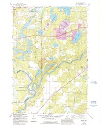
1954 Map of Baxter
USGS Topo · Published 1995About this map
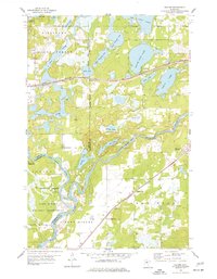
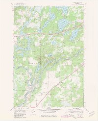
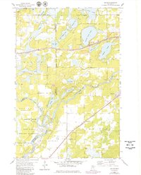
The Mississippi River carves a winding path through the heart of this mid-century Minnesota landscape, serving as a natural boundary between the townships of Sylvan, Rosing, and Crow Wing. This area is characterized by a dense concentration of glacial lakes, from the large White Sand Lake near Baxter to the complex waters of Sylvan Lake and Upper Whipple Lake. The southern reach of the map is dominated by federal and state lands, including the northern portions of the Camp Ripley Military Reservation and Fort Ripley State Park. Local history is anchored by rural landmarks such as Crow Wing Sch, the Community Ch, and several burying grounds including Oak Land Cem and Crow Wing Cem, which reflect the distributed settlement pattern of the era before the expansion of the Baxter Corporate Bdy.
Find a feature on this map
35 named features on this map. Tap any name to fly to it.
Don’t see what you’re looking for? This feature index may not catch every label — zoom into the map to look around manually.
Map Details
Editions of this 1954 Baxter Map
5 editions found
Other maps of this area

1915 · Brainerd
USGS Topo · 1:62,500

1916 · Pillager
USGS Topo · 1:62,500

1918 · Brainerd
USGS Topo · 1:62,500

1919 · Pillager
USGS Topo · 1:62,500

1948 · Belle Prairie
USGS Topo · 1:62,500

1948 · Lastrup
USGS Topo · 1:62,500

1950 · Lastrup
USGS Topo · 1:62,500

1950 · Belle Prairie
USGS Topo · 1:62,500

1953 · Brainerd
USGS Topo · 1:250,000

1954 · Baxter
USGS Topo · 1:24,000