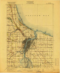
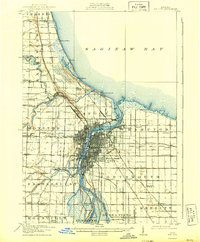
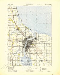
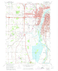
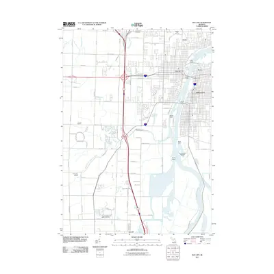
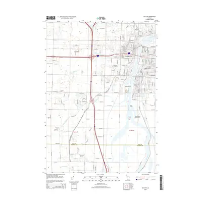
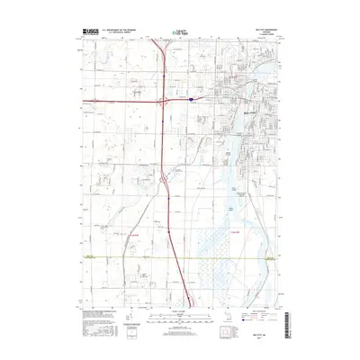
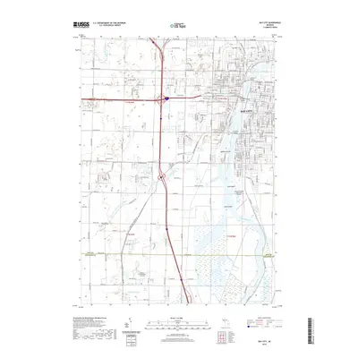
1984 Map of Bay City
USGS Topo · Published 1985About this map
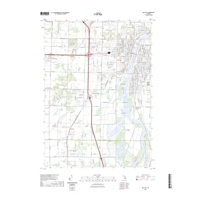
The Saginaw River forms a central industrial and transport artery as it flows into Saginaw Bay, anchoring the urban development of Bay City and Essexville. This 1980s planimetric study captures the thumb region's transition from manufacturing hubs to shoreline recreation and agricultural interior. The map documents significant infrastructure, from the Powerplant and Settling Ponds near the mouth of the river to the sprawling shoreline parks like Albert E Sleeper State Park and Port Crescent State Park along the northern coast. Inland, a grid of drainage canals including the Wiscoggin Drain and Tebo Drain supports the flat farmland of Tuscola and Huron counties. Notable institutions like Saginaw Valley College and local landmarks such as St Johns Ch provide specific points of interest for those researching the social and educational geography of the era.
Find a feature on this map
136 named features on this map. Tap any name to fly to it.
Don’t see what you’re looking for? This feature index may not catch every label — zoom into the map to look around manually.
Map Details
Editions of this 1984 Bay City Map
This is the sole edition of this map. No revisions or reprints were ever made.
Historical Maps of Bay City Through Time
10 maps found