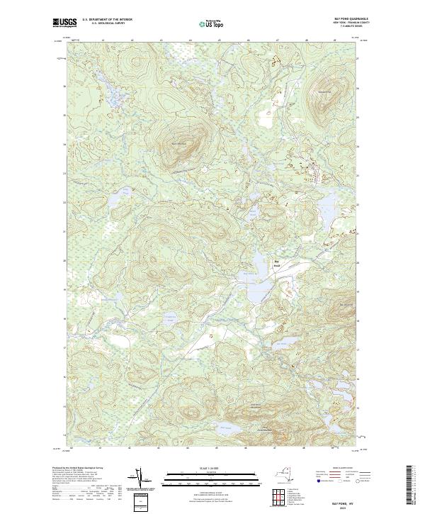
2023 Map of Bay Pond
USGS Topo · Published 2023About this map
Bay Pond serves as the central focal point of this landscape within the Adirondack Park, where water and wood define the local geography. The settlement at Bay Pond is surrounded by a dense network of glacial lakes and ponds, including Lydia Pond, Nellie Pond, and Bessie Pond, all interconnected by traditional routes like the Long to Bessie Carry Trl. This area, heavily influenced by the Adirondack Park Preserve, shows a terrain dominated by significant peaks such as Buck Mountain and East Pond Mountain. The drainage patterns are established by the Saint-Regis River and the West Branch Saint Regis River, which wind through the township. Historical access is marked by the winding paths of Blue Mountain Rd and Keeses Mills Rd, which skirt the edges of the Bay Pond Park private preserve.
Find a feature on this map
33 named features on this map. Tap any name to fly to it.
Don’t see what you’re looking for? This feature index may not catch every label — zoom into the map to look around manually.
Map Details
Editions of this 2023 Bay Pond Map
This is the sole edition of this map. No revisions or reprints were ever made.
Other maps of this area

1905 · Saint Regis
USGS Topo · 1:62,500

1919 · Nicholville
USGS Topo · 1:62,500

1920 · Childwold
USGS Topo · 1:62,500

1921 · Childwold
USGS Topo · 1:48,000

1921 · Nicholville
USGS Topo · 1:62,500

1921 · Santa Clara
USGS Topo · 1:62,500

1922 · Childwold
USGS Topo · 1:62,500

1923 · Santa Clara
USGS Topo · 1:62,500

1948 · Ogdensburg
USGS Topo · 1:250,000

1951 · Ogdensburg
USGS Topo · 1:250,000