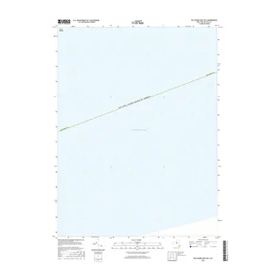
2016 Map of Bay Shore East OE S
USGS Topo · Published 2016About this map
Fire Island and the vast waters of the Atlantic Ocean dominate this coastal survey of southeastern Suffolk Co. This maritime-focused map highlights the boundary between the barrier beach and the open sea, documenting the physical state of the coastline as it appeared in the mid-2010s. The cartography provides a clear look at the territorial limits of the United States of America, tracing the jurisdictional line that extends across the water south of Long Island's barrier system. It is a specialized record for those studying the shoreline dynamics and political geography of New York's outer coast.
Find a feature on this map
4 named features on this map. Tap any name to fly to it.
Don’t see what you’re looking for? This feature index may not catch every label — zoom into the map to look around manually.
Map Details
Editions of this 2016 Bay Shore East OE S Map
This is the sole edition of this map. No revisions or reprints were ever made.
Other maps of this area

1901 · Babylon
USGS Topo · 1:62,500

1902 · Fire Island
USGS Topo · 1:62,500

1903 · Babylon
USGS Topo · 1:62,500

1903 · Fire Island
USGS Topo · 1:62,500

1904 · Islip
USGS Topo · 1:125,000
1919 · Babylon
USGS Topo · 1:62,500
1941 · Bay Shore West
USGS Topo · 1:24,000

1942 · Islip
USGS Topo · 1:125,000

1944 · Bay Shore East
USGS Topo · 1:24,000
1947 · Sayville
USGS Topo · 1:24,000