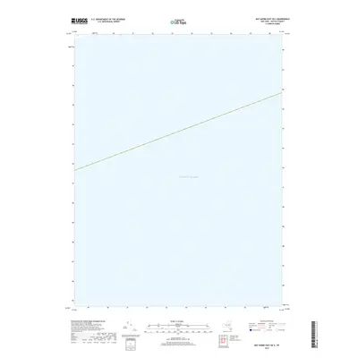
2019 Map of Bay Shore East OE S
USGS Topo · Published 2019About this map
Atlantic Ocean waters dominate this 2019 survey, representing the open marine environment south of Long Island. Produced by the U.S. Geological Survey, the chart focuses on a deep-water section of the New York coast within the Atlantic basin. The lack of landmass or bathymetric detail highlights the vast expanse of the sea in this offshore quadrangle, which serves primarily as a spatial record of the maritime approach to the Suffolk County shoreline. It is a specialized reference for researchers tracking coastal coordinates or historical maritime boundaries in the waters south of Brookhaven.
Find a feature on this map
1 named feature on this map. Tap any name to fly to it.
Don’t see what you’re looking for? This feature index may not catch every label — zoom into the map to look around manually.
Map Details
Editions of this 2019 Bay Shore East OE S Map
This is the sole edition of this map. No revisions or reprints were ever made.
Other maps of this area

1901 · Babylon
USGS Topo · 1:62,500

1902 · Fire Island
USGS Topo · 1:62,500

1903 · Babylon
USGS Topo · 1:62,500

1903 · Fire Island
USGS Topo · 1:62,500

1904 · Islip
USGS Topo · 1:125,000
1919 · Babylon
USGS Topo · 1:62,500
1941 · Bay Shore West
USGS Topo · 1:24,000

1942 · Islip
USGS Topo · 1:125,000

1944 · Bay Shore East
USGS Topo · 1:24,000
1947 · Sayville
USGS Topo · 1:24,000