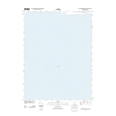
2013 Map of Bay Shore West OE S
USGS Topo · Published 2013About this map
The Atlantic Ocean dominates this offshore survey, capturing the dynamic coastal edge of Fire Island just after the turn of the decade. The map focuses on the western tip of the barrier island at Democrat Point, a location defined by shifting sands and the rhythmic influence of the sea. This specific point of land is a critical navigational marker for those entering the neighboring inlets of Long Island's South Shore. Along the narrow strip of land at the top of the sheet, the Robert Moses Pkwy provides limited vehicular access to this coastal reach, highlighting the infrastructure designed to bridge the gap between the mainland and the island's shores. The vast majority of the map is a study of the open ocean, illustrating the significant aquatic buffer that separates these barrier beaches from the deeper Atlantic.
Find a feature on this map
3 named features on this map. Tap any name to fly to it.
Don’t see what you’re looking for? This feature index may not catch every label — zoom into the map to look around manually.
Map Details
Editions of this 2013 Bay Shore West OE S Map
This is the sole edition of this map. No revisions or reprints were ever made.
Other maps of this area

1901 · Babylon
USGS Topo · 1:62,500

1902 · Fire Island
USGS Topo · 1:62,500

1903 · Babylon
USGS Topo · 1:62,500

1903 · Fire Island
USGS Topo · 1:62,500

1904 · Islip
USGS Topo · 1:125,000
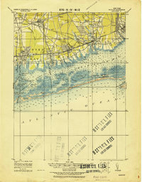
1919 · Babylon
USGS Topo · 1:62,500
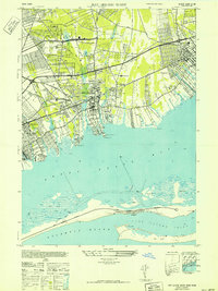
1941 · Bay Shore West
USGS Topo · 1:24,000

1942 · Islip
USGS Topo · 1:125,000

1944 · Bay Shore East
USGS Topo · 1:24,000
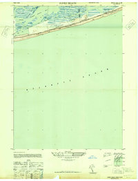
1947 · Jones Beach
USGS Topo · 1:24,000