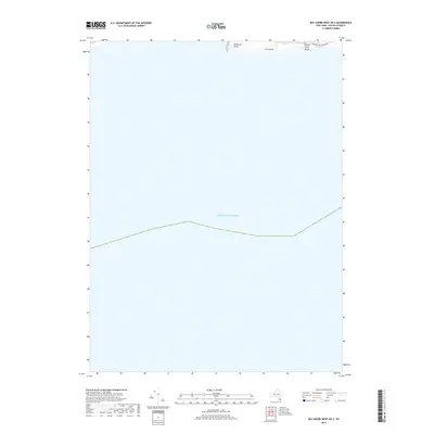
2019 Map of Bay Shore West OE S
USGS Topo · Published 2019About this map
Fire Island extends across the northern edge of this maritime survey, showcasing the westernmost tip of Great South Beach where it meets the sea. The landscape is dominated by the shifting sands of Democrat Point, a significant coastal feature that marks the inlet entrance. This map primarily illustrates the expansive reaches of the Atlantic Ocean south of the barrier island, providing a detailed look at the maritime boundary and the coastal infrastructure of the Robert Moses State Pkwy as it provides access to this narrow strip of land. It offers a clear view of the shoreline's configuration before recent storm cycles and beach nourishment projects altered the profile of these dynamic dunes.
Find a feature on this map
5 named features on this map. Tap any name to fly to it.
Don’t see what you’re looking for? This feature index may not catch every label — zoom into the map to look around manually.
Map Details
Editions of this 2019 Bay Shore West OE S Map
This is the sole edition of this map. No revisions or reprints were ever made.
Other maps of this area

1901 · Babylon
USGS Topo · 1:62,500

1902 · Fire Island
USGS Topo · 1:62,500

1903 · Babylon
USGS Topo · 1:62,500

1903 · Fire Island
USGS Topo · 1:62,500

1904 · Islip
USGS Topo · 1:125,000
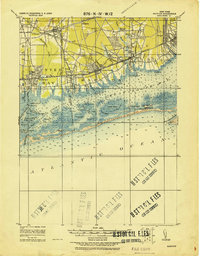
1919 · Babylon
USGS Topo · 1:62,500
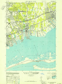
1941 · Bay Shore West
USGS Topo · 1:24,000

1942 · Islip
USGS Topo · 1:125,000

1944 · Bay Shore East
USGS Topo · 1:24,000
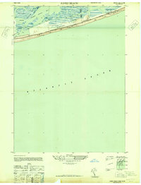
1947 · Jones Beach
USGS Topo · 1:24,000