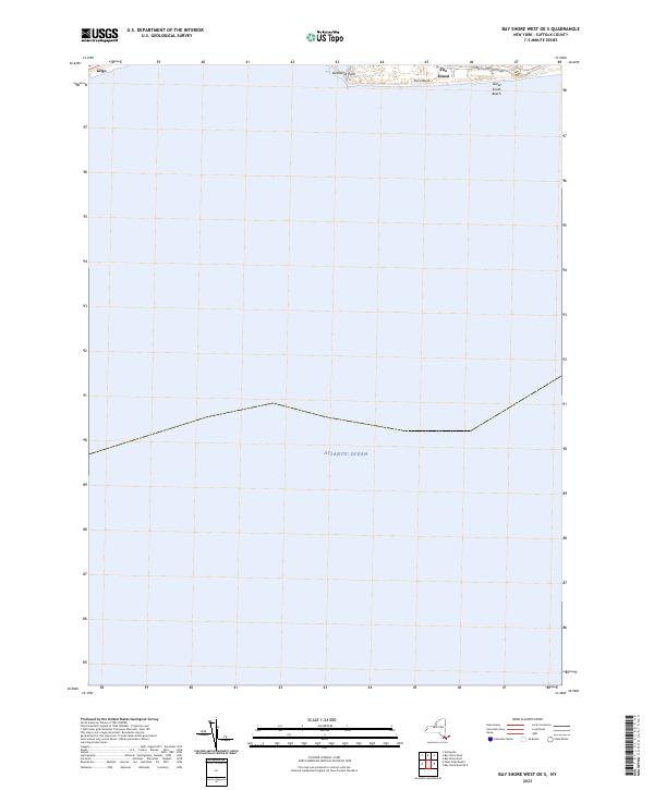
2023 Map of Bay Shore West OE S
USGS Topo · Published 2023About this map
Great South Beach and the western tip of Fire Island define the narrow coastal barrier between the open waters of the Atlantic Ocean and the southern shore of Long Island. This 2023 survey by the U.S. Geological Survey documents the shifting sands of the South Shore, where Democrat Point marks the westward-advancing tip of the island. The map captures the limited infrastructure along this dynamic coastline, primarily concentrated around the Robert Moses State Pkwy, which provides access to these isolated beachfronts. Further west, the area around Gilgo illustrates the thin, vulnerable nature of the barrier islands that protect the mainland. The lack of extensive development on the island itself highlights the area's role as a natural buffer and a site for public recreation and conservation at the edge of the Atlantic.
Find a feature on this map
7 named features on this map. Tap any name to fly to it.
Don’t see what you’re looking for? This feature index may not catch every label — zoom into the map to look around manually.
Map Details
Editions of this 2023 Bay Shore West OE S Map
This is the sole edition of this map. No revisions or reprints were ever made.
Other maps of this area

1901 · Babylon
USGS Topo · 1:62,500

1902 · Fire Island
USGS Topo · 1:62,500

1903 · Babylon
USGS Topo · 1:62,500

1903 · Fire Island
USGS Topo · 1:62,500

1904 · Islip
USGS Topo · 1:125,000
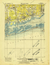
1919 · Babylon
USGS Topo · 1:62,500
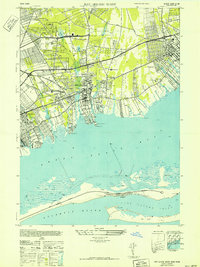
1941 · Bay Shore West
USGS Topo · 1:24,000

1942 · Islip
USGS Topo · 1:125,000

1944 · Bay Shore East
USGS Topo · 1:24,000
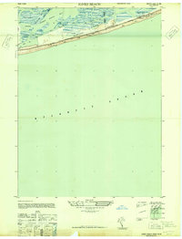
1947 · Jones Beach
USGS Topo · 1:24,000