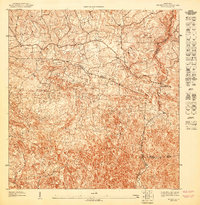
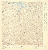
1947 Map of Bayaney NO
USGS Topo · Published 1947About this map
The complex karst topography of northwestern Puerto Rico dominates this 1940s landscape, where the confluence of several jurisdictions meets in a rugged interior. Based on 1943 topography, this map shows the convergence of the Municipio de Camuy, Municipio de Lares, Municipio de Hatillo, and Municipio de Utuado. The intricate contour lines reveal the dramatic limestone sinkholes and haycock hills characteristic of the region, interspersed with a network of rural dwellings and winding roads. A primary community focal point is the Escuela Theodore Roosevelt, situated along one of the area's main thoroughfares. This survey provides a precise look at the transition from agriculture to increasing settlement in the mid-century, capturing the precise layout of local boundaries and property structures during the Orlando R. M ndez administration.
Find a feature on this map
5 named features on this map. Tap any name to fly to it.
Don’t see what you’re looking for? This feature index may not catch every label — zoom into the map to look around manually.
Map Details
Editions of this 1947 Bayaney NO Map
This is the sole edition of this map. No revisions or reprints were ever made.
Other maps of this area

1938 · Camuy
USGS Topo · 1:20,000

1938 · San Sebastian
USGS Topo · 1:20,000

1938 · Quebradillas
USGS Topo · 1:20,000

1941 · San Sebastian
USGS Topo · 1:30,000

1942 · Camuy
USGS Topo · 1:30,000

1946 · Bayaney
USGS Topo · 1:30,000
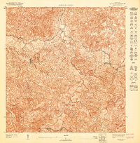
1947 · Bayaney SE
USGS Topo · 1:10,000
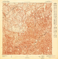
1947 · Bayaney NE
USGS Topo · 1:10,000
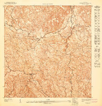
1947 · Bayaney SO
USGS Topo · 1:10,000
1950 · San Sebastian NE
USGS Topo · 1:10,000