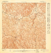
1947 Map of Bayaney SO
USGS Topo · Published 1947About this map
The Rio Guajataca winds through this mountainous interior region where the Municipio de Lares and Municipio de Utuado meet. Established during the mid-1940s, this survey documents a landscape of steep ridges and deep valleys, anchored by high points such as Cerro Palmar and Cerro La Torre. The rural character of the era is evidenced by local landmarks like Escuela Virgilio Acevedo and Escuela La America, which served the scattered residents of the mountain barrios.
Find a feature on this map
12 named features on this map. Tap any name to fly to it.
Don’t see what you’re looking for? This feature index may not catch every label — zoom into the map to look around manually.
Map Details
Editions of this 1947 Bayaney SO Map
This is the sole edition of this map. No revisions or reprints were ever made.
Other maps of this area

1938 · San Sebastian
USGS Topo · 1:20,000

1941 · San Sebastian
USGS Topo · 1:30,000

1946 · Maricao
USGS Topo · 1:30,000

1946 · Bayaney
USGS Topo · 1:30,000

1946 · Monte Guilarte
USGS Topo · 1:30,000
1947 · Monte Guilarte NE
USGS Topo · 1:10,000
1947 · Maricao NE
USGS Topo · 1:10,000
1947 · Monte Guilarte NO
USGS Topo · 1:10,000
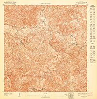
1947 · Bayaney SE
USGS Topo · 1:10,000
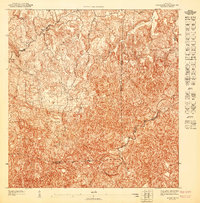
1947 · Bayaney NE
USGS Topo · 1:10,000