Loading...
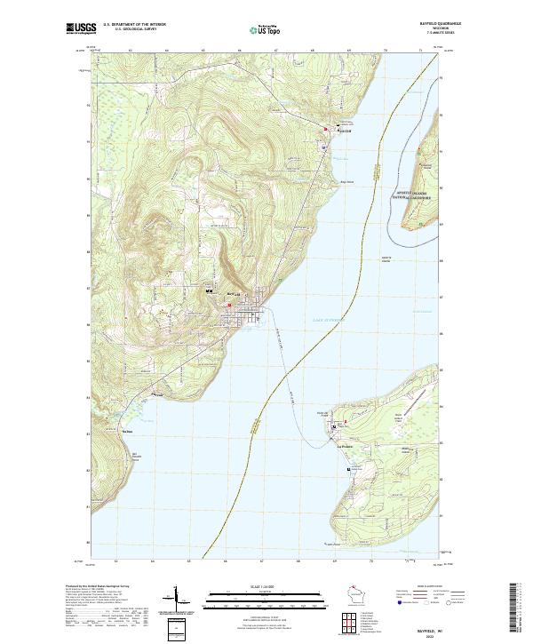
Loading map...2022 Map of Bayfield
USGS Topo · Published 2022About this map
The coastal gateway of Bayfield and the protected lands of the Apostle Islands National Lakeshore define this modern survey of the Chequamegon Bay area. The maritime landscape is anchored by Madeline Island, where the settlement of La Pointe sits opposite the mainland harbor. This map documents a region steeped in spiritual and ancestral history, noted by several burial grounds including the La Pointe Indian Cem, Saint Joseph Cem, and Evergreen Cem.
Find a feature on this map
111 named features on this map. Tap any name to fly to it.
Don’t see what you’re looking for? This feature index may not catch every label — zoom into the map to look around manually.
Map Details
Date Portrayed2022
Date Published2022
PublisherU.S. Geological Survey
Map TypeTopographic
Scale1:24000
Physical Dimensions24 x 29 inches
Editions of this 2022 Bayfield Map
This is the sole edition of this map. No revisions or reprints were ever made.
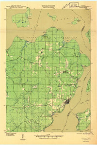
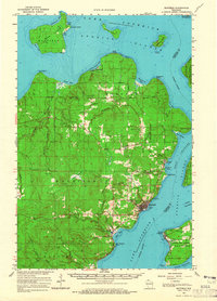
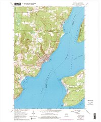
Historical Maps of Pureair Through Time
5 maps found

Featured Locations
Source Details
SourceU.S. Geological Survey
CopyrightPublic Domain