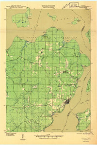
1941 Map of Bayfield
USGS Topo · Published 1941About this map
Red Cliff Indian Reservation encompasses much of the northern peninsula in this early 1940s survey, illustrating a landscape defined by its relationship with Lake Superior. The settlement of Bayfield serves as a primary hub along the western shore, where the Chicago and Northwestern railroad terminates. Moving inland, the terrain is dotted with rural infrastructure such as the Sand Bay Sch, Carver Sch, and the Bayfield Fire Tower, which provided essential services to the growing timber and fishing communities of the era.
Find a feature on this map
48 named features on this map. Tap any name to fly to it.
Don’t see what you’re looking for? This feature index may not catch every label — zoom into the map to look around manually.
Map Details
Editions of this 1941 Bayfield Map
This is the sole edition of this map. No revisions or reprints were ever made.
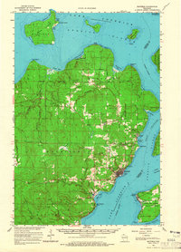
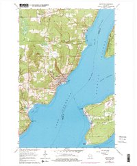
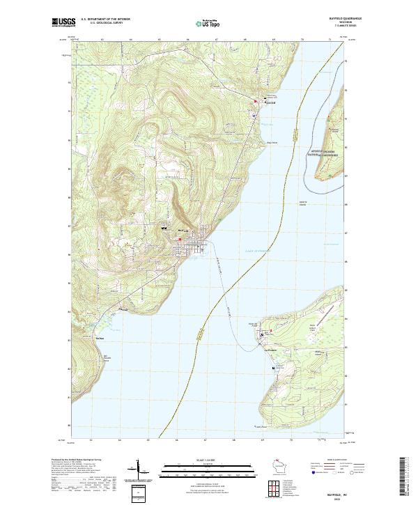
Historical Maps of Bayfield Through Time
5 maps found