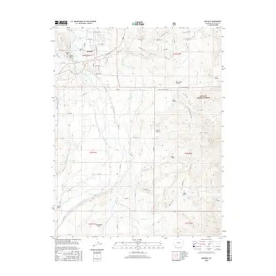
2016 Map of Bayfield
USGS Topo · Published 2016About this map
Bayfield serves as the primary hub for this southwestern Colorado landscape, situated along the Los Pinos River and the historical travel corridors of Co RD 501 and Co RD 502. The town center, including the Bayfield Cem, is surrounded by a dense network of irrigation infrastructure essential to the high-desert valley. Numerous named waterways like the Thompson Epperson Ditch, King Consolidated Ditch, and Pine River Canal highlight a century-old dependency on water rights and engineering to support local agriculture.
Find a feature on this map
78 named features on this map. Tap any name to fly to it.
Don’t see what you’re looking for? This feature index may not catch every label — zoom into the map to look around manually.
Map Details
Editions of this 2016 Bayfield Map
This is the sole edition of this map. No revisions or reprints were ever made.
Other maps of this area

1908 · Ignacio
USGS Topo · 1:125,000

1924 · Ignacio
USGS Topo · 1:125,000

1924 · Pagosa Springs
USGS Topo · 1:125,000

1927 · Pagosa Springs
USGS Topo · 1:125,000

1945 · Durango
USGS Topo · 1:250,000

1953 · Durango
USGS Topo · 1:250,000

1954 · Durango
USGS Topo · 1:250,000

1954 · Allison
USGS Topo · 1:24,000

1961 · Durango
USGS Topo · 1:250,000

1963 · Durango
USGS Topo · 1:250,000