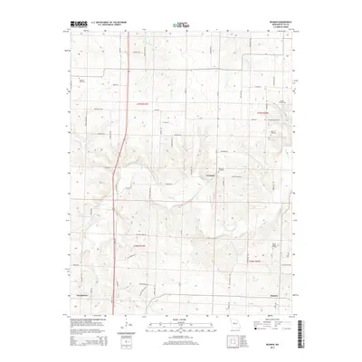
2014 Map of Beaman
USGS Topo · Published 2014About this map
Georgetown and the rural crossings of northeastern Pettis County are defined by the winding course of Muddy Cr and its many tributaries. This survey captures the agrarian character of the Missouri landscape, where small settlements like Newland and Beaman are connected by a network of local roads such as High Point Rd and Thornleigh Rd. The map is particularly useful for genealogical research, as it documents several historic family or community burial sites including High Hill Cemetery, Scott Cemetery, and the Olive Branch Cemetery located near the southern boundary.
Find a feature on this map
62 named features on this map. Tap any name to fly to it.
Don’t see what you’re looking for? This feature index may not catch every label — zoom into the map to look around manually.
Map Details
Editions of this 2014 Beaman Map
This is the sole edition of this map. No revisions or reprints were ever made.
Other maps of this area

1887 · Sedalia
USGS Topo · 1:125,000

1894 · Sedalia
USGS Topo · 1:125,000

1939 · Sweet Springs
USGS Topo · 1:62,500

1940 · Sweet Springs
USGS Topo · 1:62,500

1941 · Sweet Springs
USGS Topo · 1:62,500

1944 · Sedalia West
USGS Topo · 1:24,000

1944 · Sedalia East
USGS Topo · 1:24,000

1945 · Sweet Springs
USGS Topo · 1:62,500

1946 · Sedalia West
USGS Topo · 1:24,000

1946 · Sedalia East
USGS Topo · 1:24,000