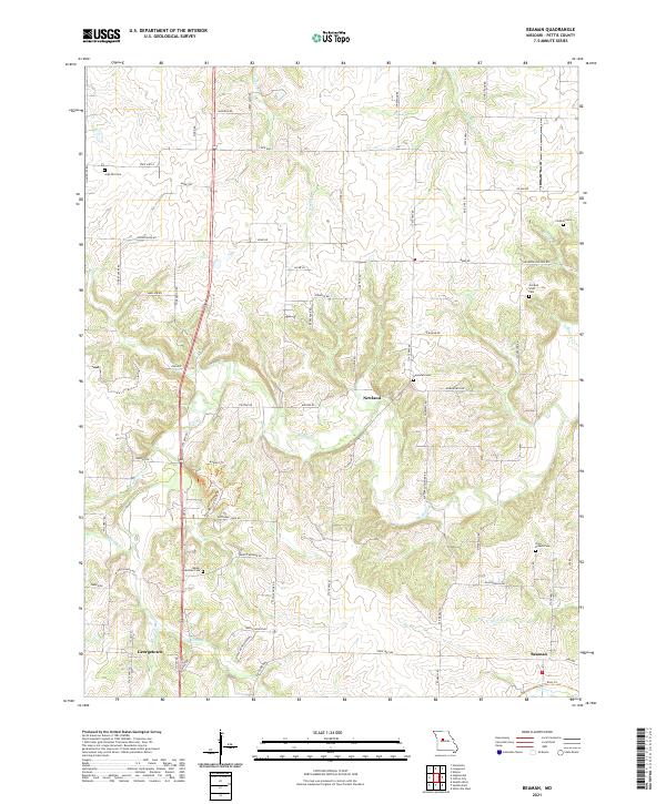
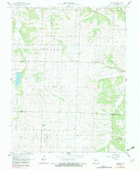
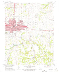
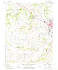
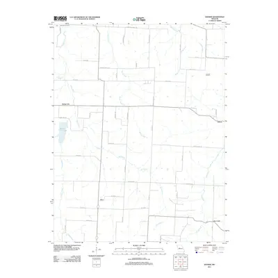
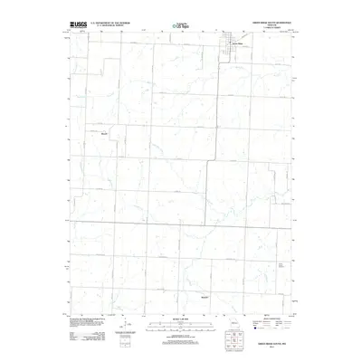
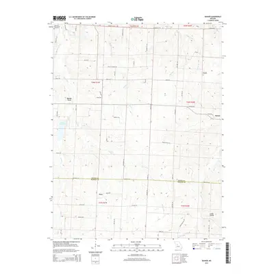
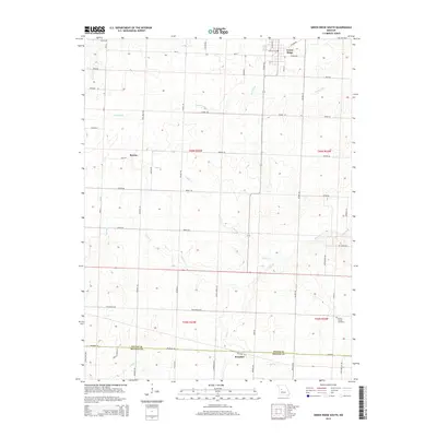
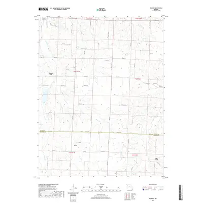
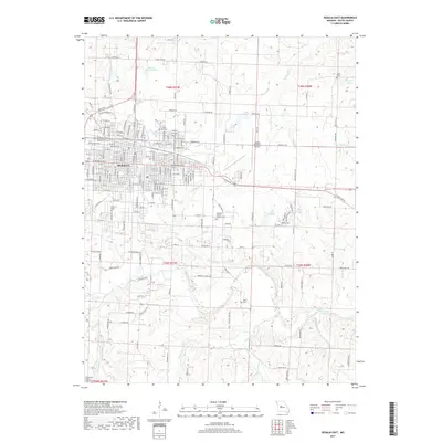
2021 Map of Beaman
USGS Topo · Published 2021About this map
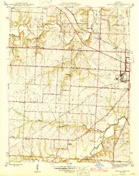
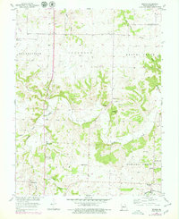
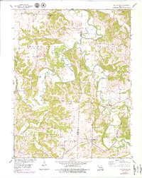
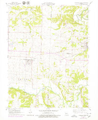
Muddy Cr and its various tributaries, including Turkey Cr and Smelser Cr, carve a complex drainage pattern across this Pettis County landscape. The settlement of Georgetown serves as a historic focal point in the southwest, while Beaman anchors the southeast corner near the winding course of Shaver Cr. The rural character of the region is punctuated by numerous family and community burial grounds, such as Olive Branch Cem and the Old Bob Scott Cem, which offer significant touchstones for genealogical research in the area.
Find a feature on this map
67 named features on this map. Tap any name to fly to it.
Don’t see what you’re looking for? This feature index may not catch every label — zoom into the map to look around manually.
Map Details
Editions of this 2021 Beaman Map
This is the sole edition of this map. No revisions or reprints were ever made.
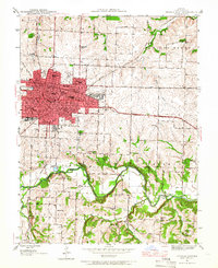
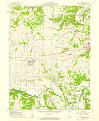
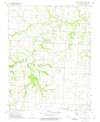
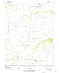
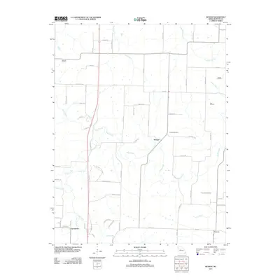
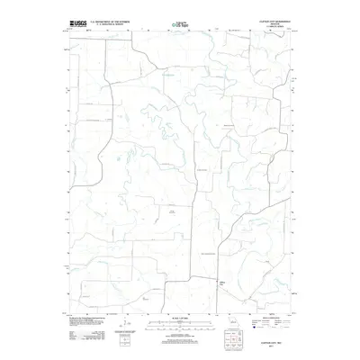
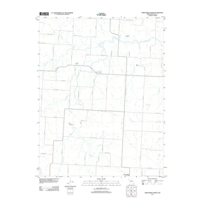
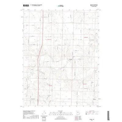
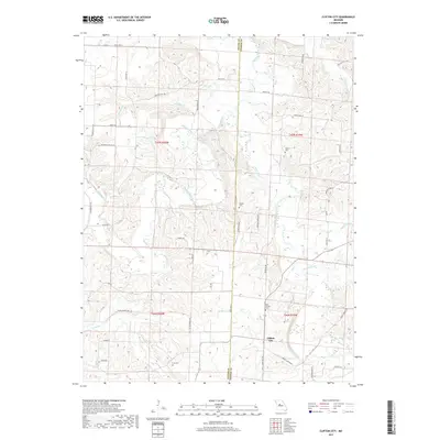
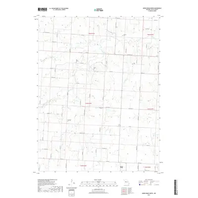
Historical Maps of Newland Through Time
47 maps found
1944 Sedalia East
Pettis County, MO
1944 Sedalia West
Pettis County, MO
1946 Sedalia East
Pettis County, MO
1946 Sedalia West
Pettis County, MO
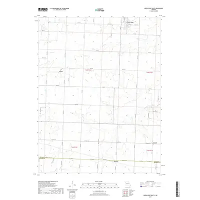
1953 Beaman
Pettis County, MO
1953 Clifton City
Pettis County, MO
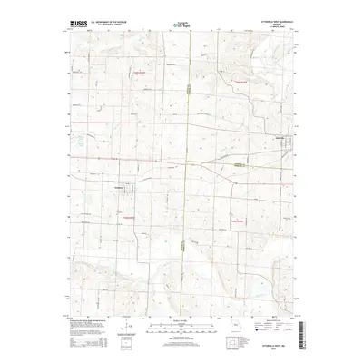
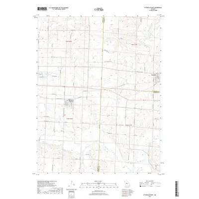
1960 Otterville West
Pettis County, MO
1961 Bahner
Pettis County, MO
1961 Otterville West
Pettis County, MO
1973 Green Ridge North
Pettis County, MO
1973 Green Ridge South
Pettis County, MO
1973 Sedalia East
Pettis County, MO
1973 Sedalia West
Pettis County, MO
1980 Sedalia East
Pettis County, MO
1980 Sedalia West
Pettis County, MO
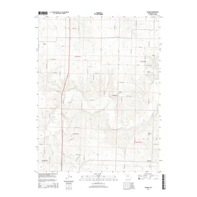
2011 Bahner
Pettis County, MO
2011 Beaman
Pettis County, MO
2011 Clifton City
Pettis County, MO
2011 Green Ridge North
Pettis County, MO
2011 Green Ridge South
Pettis County, MO
2011 Otterville West
Pettis County, MO
2011 Sedalia East
Pettis County, MO
2011 Sedalia West
Pettis County, MO
2014 Bahner
Pettis County, MO
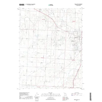
2014 Beaman
Pettis County, MO
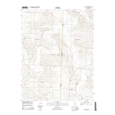
2014 Clifton City
Pettis County, MO
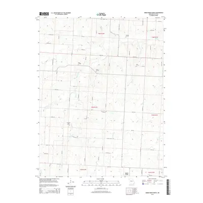
2014 Green Ridge North
Pettis County, MO
2014 Green Ridge South
Pettis County, MO
2014 Otterville West
Pettis County, MO
2014 Sedalia East
Pettis County, MO
2014 Sedalia West
Pettis County, MO
2017 Bahner
Pettis County, MO
2017 Beaman
Pettis County, MO
2017 Clifton City
Pettis County, MO
2017 Green Ridge North
Pettis County, MO
2017 Green Ridge South
Pettis County, MO
2017 Otterville West
Pettis County, MO
2017 Sedalia East
Pettis County, MO
2017 Sedalia West
Pettis County, MO
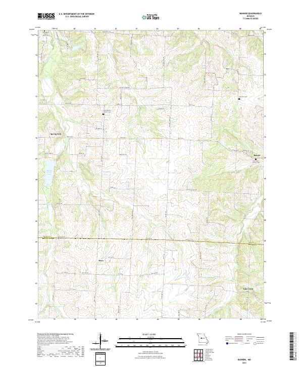
2021 Bahner
Pettis County, MO
2021 Beaman
Pettis County, MO
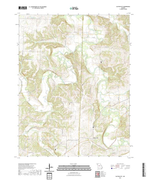
2021 Clifton City
Pettis County, MO
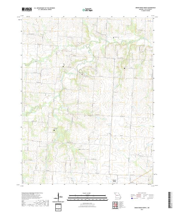
2021 Green Ridge North
Pettis County, MO
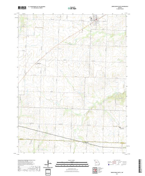
2021 Green Ridge South
Pettis County, MO
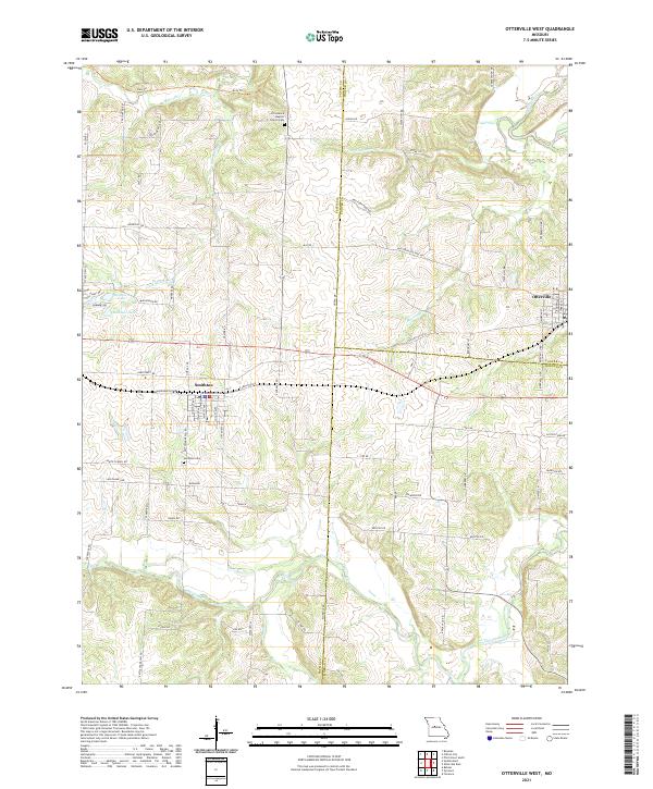
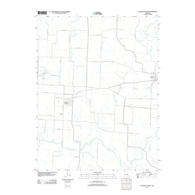
2021 Otterville West
Pettis County, MO
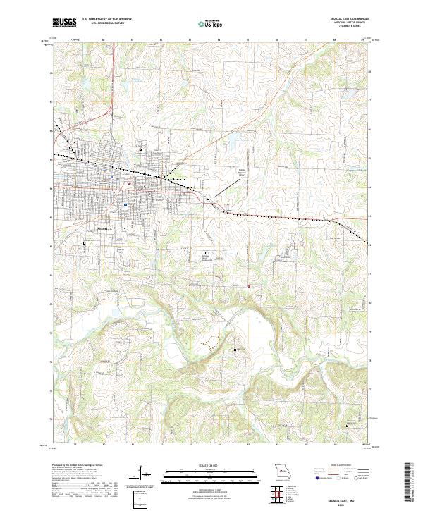
2021 Sedalia East
Pettis County, MO
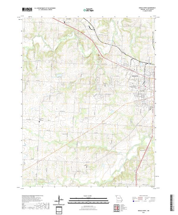
2021 Sedalia West
Pettis County, MO