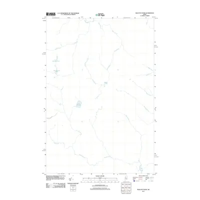
2011 Map of Bean Pot Pond
USGS Topo · Published 2011About this map
Russell Stream winds through the southern reaches of this Maine landscape, forming a central drainage point for a complex network of brooks and wetland systems. The interior is defined by a series of significant water bodies, notably Bean Pot Pond and the twin basins of Little Mucalsea Pond and Big Mucalsea Pond. These features, along with Withey Bog, indicate a terrain shaped by heavy glaciation and poor drainage typical of the north woods. Human infrastructure is nearly absent from the sheet, save for Scott Brook Rd, which provides limited access into the area. The prevalence of named watercourses like Loon Stream, Withey Brook, and Big Scott Brook suggests a region historically utilized for timber harvesting and seasonal outdoor recreation rather than permanent settlement.
Find a feature on this map
14 named features on this map. Tap any name to fly to it.
Don’t see what you’re looking for? This feature index may not catch every label — zoom into the map to look around manually.
Map Details
Editions of this 2011 Bean Pot Pond Map
This is the sole edition of this map. No revisions or reprints were ever made.
Other maps of this area

1954 · Seboomook Lake
USGS Topo · 1:62,500

1954 · North East Carry
USGS Topo · 1:62,500

1954 · Caucomgomoc Lake
USGS Topo · 1:62,500

1954 · St. John Pond
USGS Topo · 1:62,500

1954 · Presque Isle
USGS Topo · 1:250,000

1954 · Millinocket
USGS Topo · 1:250,000

1958 · Presque Isle
USGS Topo · 1:250,000

1958 · Millinocket
USGS Topo · 1:250,000

1958 · Caucomgomoc Lake
USGS Topo · 1:62,500

1958 · Saint John Pond
USGS Topo · 1:62,500