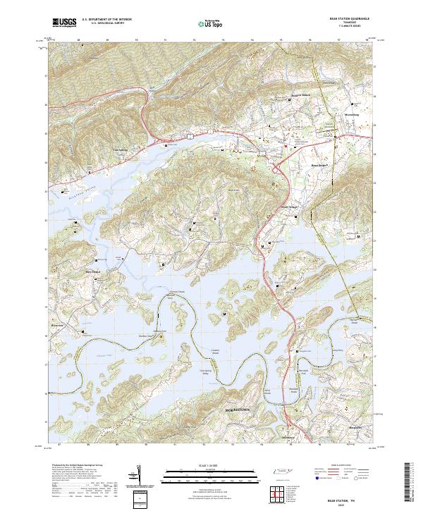
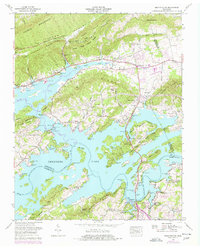
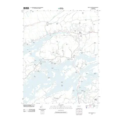
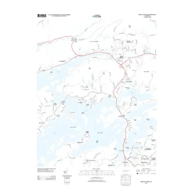
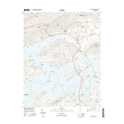
2023 Map of Bean Station
USGS Topo · Published 2023About this map
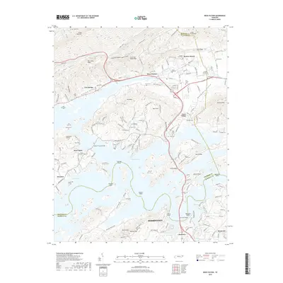
Cherokee Lake dominates the landscape south of the Clinch Mountain range, reflecting a modern shoreline that has reshaped the historic river crossings of Grainger and Hamblen counties. This area is characterized by long, parallel ridges and valleys, including Poor Valley and Mooresburg Valley, where established communities like Bean Station and Mooresburg sit along traditional transit corridors. The transition from terrestrial to lacustrine environment is evident in the many named shoals and fords now situated within the lake's reach, such as German Shoals and Sheltons Ford.
Find a feature on this map
132 named features on this map. Tap any name to fly to it.
Don’t see what you’re looking for? This feature index may not catch every label — zoom into the map to look around manually.
Map Details
Editions of this 2023 Bean Station Map
This is the sole edition of this map. No revisions or reprints were ever made.
Historical Maps of Morristown Through Time
9 maps found
1935 Bean Station
Grainger County, TN
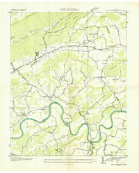
1938 Bean Station
Grainger County, TN
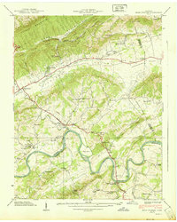
1939 Bean Station
Grainger County, TN
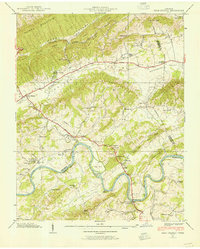
1960 Bean Station
Grainger County, TN
2010 Bean Station
Grainger County, TN
2013 Bean Station
Grainger County, TN
2016 Bean Station
Grainger County, TN
2019 Bean Station
Grainger County, TN
2023 Bean Station
Grainger County, TN