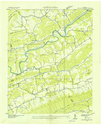
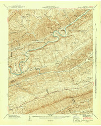
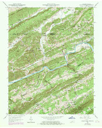
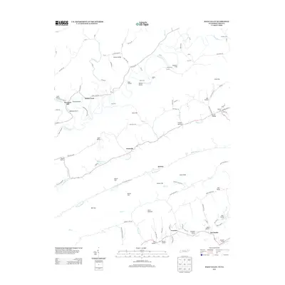
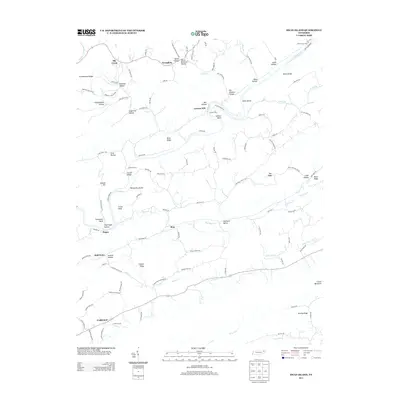
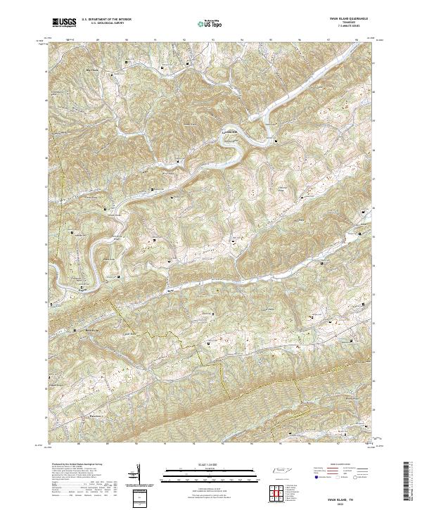
1935 Map of Swan Island
USGS Topo · Published 1935About this map
The Clinch River meanders through a landscape of parallel ridges in Hancock County, defining the rural character of this pre-TVA era survey. The river served as a vital corridor, evidenced by several active crossing points such as Swan Island Ferry, Cloud Ferry, and Papaw Ferry, along with the Lawson Ford near Lawson Mill. These features reveal a community reliant on water-borne transit and local milling before modern bridge infrastructure dominated the region.
Find a feature on this map
58 named features on this map. Tap any name to fly to it.
Don’t see what you’re looking for? This feature index may not catch every label — zoom into the map to look around manually.
Map Details
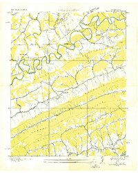
Editions of this 1935 Swan Island Map
This is the sole edition of this map. No revisions or reprints were ever made.
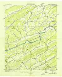
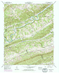
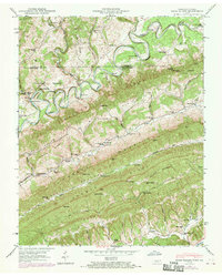
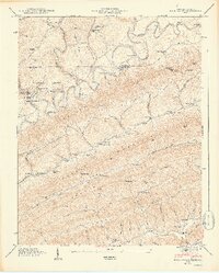
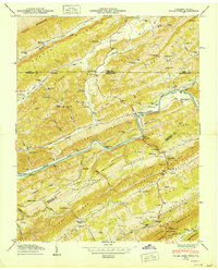
Historical Maps of Big Creek Through Time
26 maps found
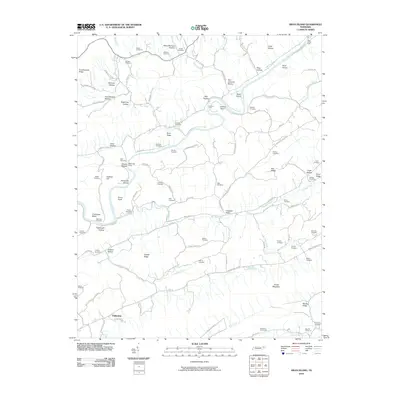
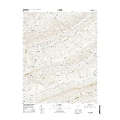
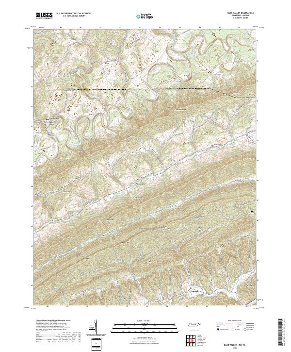
1935 Back Valley
Hancock County, TN
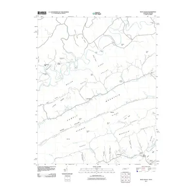
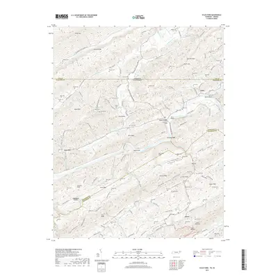
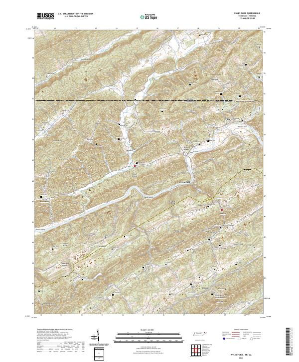
1935 Kyles Ford
Hancock County, TN
1935 Swan Island
Hancock County, TN
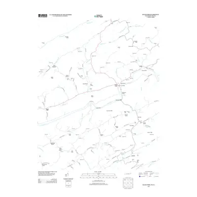
1941 Swan Island
Hancock County, TN
1942 Swan Island
Hancock County, TN
1946 Back Valley
Hancock County, TN
1948 Back Valley
Hancock County, TN
1950 Kyles Ford
Hancock County, TN
1969 Kyles Ford
Hancock County, TN
1976 Back Valley
Hancock County, TN
1976 Kyles Ford
Hancock County, TN
2010 Kyles Ford
Hancock County, TN
2010 Swan Island
Hancock County, TN
2011 Back Valley
Hancock County, TN
2013 Back Valley
Hancock County, TN
2013 Kyles Ford
Hancock County, TN
2013 Swan Island
Hancock County, TN

2016 Back Valley
Hancock County, TN

2016 Kyles Ford
Hancock County, TN
2016 Swan Island
Hancock County, TN
2019 Back Valley
Hancock County, TN
2019 Kyles Ford
Hancock County, TN

2019 Swan Island
Hancock County, TN
2022 Back Valley
Hancock County, TN
2022 Kyles Ford
Hancock County, TN
2022 Swan Island
Hancock County, TN