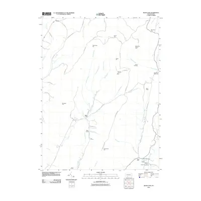
2010 Map of Beans Cove
USGS Topo · Published 2010About this map
Beans Cove and the surrounding drainage of Flintstone Creek define this rural landscape in the southern reaches of Bedford County. The area is characterized by a series of prominent gaps and ridges, including Pigeonroost Gap and Manassas Gap, which have historically funneled travel through this complex terrain. Small settlements such as Twigg Hollow and Black Valley are connected by a network of winding roads like Tussey Mountain Rd and Beans Cove Rd. Local history is anchored by several rural burial grounds, including Ruby Cemetery and Oakdale Cemetery, while the Hewitt Covered Bridge provides a tangible link to traditional engineering in the Black Valley Gap. High points like Martin Hill feature the Martin Hill Fire Tower, overlooking protected lands within the Sweet Root Natural Area and the Martin Hill Lot.
Find a feature on this map
58 named features on this map. Tap any name to fly to it.
Don’t see what you’re looking for? This feature index may not catch every label — zoom into the map to look around manually.
Map Details
Editions of this 2010 Beans Cove Map
This is the sole edition of this map. No revisions or reprints were ever made.
Other maps of this area

1898 · Paw Paw
USGS Topo · 1:62,500

1899 · Flintstone
USGS Topo · 1:62,500

1900 · Pawpaw
USGS Topo · 1:62,500

1900 · Flintstone
USGS Topo · 1:62,500

1910 · Paw Paw
USGS Topo · 1:62,500

1927 · Clearville
USGS Topo · 1:48,000

1927 · Hyndman
USGS Topo · 1:62,500

1931 · Clearville
USGS Topo · 1:62,500

1931 · Hyndman
USGS Topo · 1:62,500

1944 · Hyndman
USGS Topo · 1:62,500
Featured Places
- Southampton Township, PA
- Colerain Township, PA
- Cumberland Valley Township, PA
- Monroe Township, PA
- Beans Cove, Southampton Township