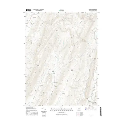
2016 Map of Beans Cove
USGS Topo · Published 2016About this map
Tussey Mountain and Evitts Mtn dominate the landscape of southern Bedford County, defining a series of narrow valleys where agricultural and family life has persisted for generations. In the southeastern corner, the settlement of Hewitt is marked by the Hewitt Covered Bridge over Town Creek, a significant local landmark for historians and engineering enthusiasts. The central valley, Beans Cove, serves as a spiritual and community hub, anchored by the Beans Cove Methodist Church and the Seven Dolors Catholic Church.
Find a feature on this map
65 named features on this map. Tap any name to fly to it.
Don’t see what you’re looking for? This feature index may not catch every label — zoom into the map to look around manually.
Map Details
Editions of this 2016 Beans Cove Map
This is the sole edition of this map. No revisions or reprints were ever made.
Other maps of this area

1898 · Paw Paw
USGS Topo · 1:62,500

1899 · Flintstone
USGS Topo · 1:62,500

1900 · Pawpaw
USGS Topo · 1:62,500

1900 · Flintstone
USGS Topo · 1:62,500

1910 · Paw Paw
USGS Topo · 1:62,500

1927 · Clearville
USGS Topo · 1:48,000

1927 · Hyndman
USGS Topo · 1:62,500

1931 · Clearville
USGS Topo · 1:62,500

1931 · Hyndman
USGS Topo · 1:62,500

1944 · Hyndman
USGS Topo · 1:62,500
Featured Places
- Southampton Township, PA
- Colerain Township, PA
- Cumberland Valley Township, PA
- Monroe Township, PA
- Beans Cove, Southampton Township