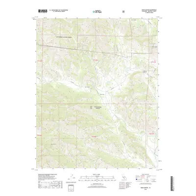
2018 Map of Bear Canyon
USGS Topo · Published 2018About this map
The Santa Lucia Range dominates this portion of Monterey County, defining a landscape where wilderness and military activity converge. Much of the terrain is managed as part of the Los Padres National Forest, characterized by steep drainages like Wizard Gulch and China Gulch. The San Antonio River flows through the central portion of the quadrangle, serving as a primary hydrological artery alongside seasonal courses like Reliz Cr and Mission Cr.
Find a feature on this map
27 named features on this map. Tap any name to fly to it.
Don’t see what you’re looking for? This feature index may not catch every label — zoom into the map to look around manually.
Map Details
Editions of this 2018 Bear Canyon Map
This is the sole edition of this map. No revisions or reprints were ever made.
Other maps of this area

1919 · King City
USGS Topo · 1:62,500

1919 · Junipero Serra
USGS Topo · 1:62,500

1919 · Bryson
USGS Topo · 1:62,500

1921 · Cape San Martin
USGS Topo · 1:62,500

1939 · King City
USGS Topo · 1:62,500

1941 · Cape San Martin
USGS Topo · 1:62,500

1941 · Junipero Serra
USGS Topo · 1:62,500

1941 · Bryson
USGS Topo · 1:62,500

1942 · Bryson
USGS Topo · 1:62,500

1942 · Cape San Martin
USGS Topo · 1:62,500