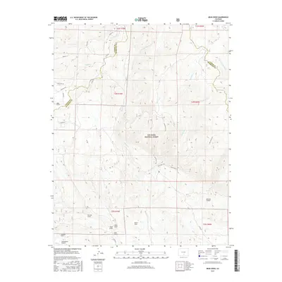
2016 Map of Bear Creek
USGS Topo · Published 2016About this map
San Isabel National Forest dominates this section of the Colorado landscape, where the borders of Custer and Huerfano counties meet. The terrain is defined by a complex network of canyons and gulches, including the distinctive Devils Hole and the deep cuts of Reveille Canyon and Cottonwood Canyon. Water moves through the territory via the Saint Charles River and several namesake forks of Bear Creek, which descend from higher elevations in the north toward the lower plains.
Find a feature on this map
38 named features on this map. Tap any name to fly to it.
Don’t see what you’re looking for? This feature index may not catch every label — zoom into the map to look around manually.
Map Details
Editions of this 2016 Bear Creek Map
This is the sole edition of this map. No revisions or reprints were ever made.
Other maps of this area

1889 · Canon City
USGS Topo · 1:125,000

1889 · Huerfano Park
USGS Topo · 1:125,000

1892 · Huerfano Park
USGS Topo · 1:125,000

1892 · Canon City
USGS Topo · 1:125,000

1954 · Rosita
USGS Topo · 1:24,000

1954 · Trinidad
USGS Topo · 1:250,000

1954 · Pueblo
USGS Topo · 1:250,000

1955 · Trinidad
USGS Topo · 1:250,000

1957 · Pueblo
USGS Topo · 1:250,000

1958 · Trinidad
USGS Topo · 1:250,000