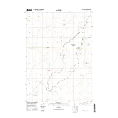
2013 Map of Bear Den Butte
USGS Topo · Published 2013About this map
Craters of the Moon National Preserve dominates the central and eastern portions of this High Desert landscape, showing the stark transition between volcanic formations and the surrounding range. The topography is defined by prominent volcanic markers such as Bear Den Butte, Corral Butte, and Potter Butte, which rise above a complex network of ephemeral water sources. These include small, isolated basins like Cream Can Lake, Williams Lake, and Aspitarte Lake. The presence of numerous named reservoirs, including Bowl Reservoir and Monument Reservoir, alongside Laidlaw Park RD, indicates the vital importance of water management and access in this arid region of Blaine and Minidoka counties. The map provides a precise record of the lava flows and cinder cones that characterize the northern edge of the Snake River Plain.
Find a feature on this map
27 named features on this map. Tap any name to fly to it.
Don’t see what you’re looking for? This feature index may not catch every label — zoom into the map to look around manually.
Map Details
Editions of this 2013 Bear Den Butte Map
This is the sole edition of this map. No revisions or reprints were ever made.
Other maps of this area

1955 · Idaho Falls
USGS Topo · 1:250,000

1958 · Idaho Falls
USGS Topo · 1:250,000

1972 · North Laidlaw Butte
USGS Topo · 1:24,000

1972 · Little Park
USGS Topo · 1:24,000

1972 · Bear Park SW
USGS Topo · 1:24,000

1972 · Laidlaw Lake
USGS Topo · 1:24,000

1972 · Bear Den Butte
USGS Topo · 1:24,000

1972 · Laidlaw Butte
USGS Topo · 1:24,000

1972 · Bottleneck Lake
USGS Topo · 1:24,000

1972 · Bear Park West
USGS Topo · 1:24,000