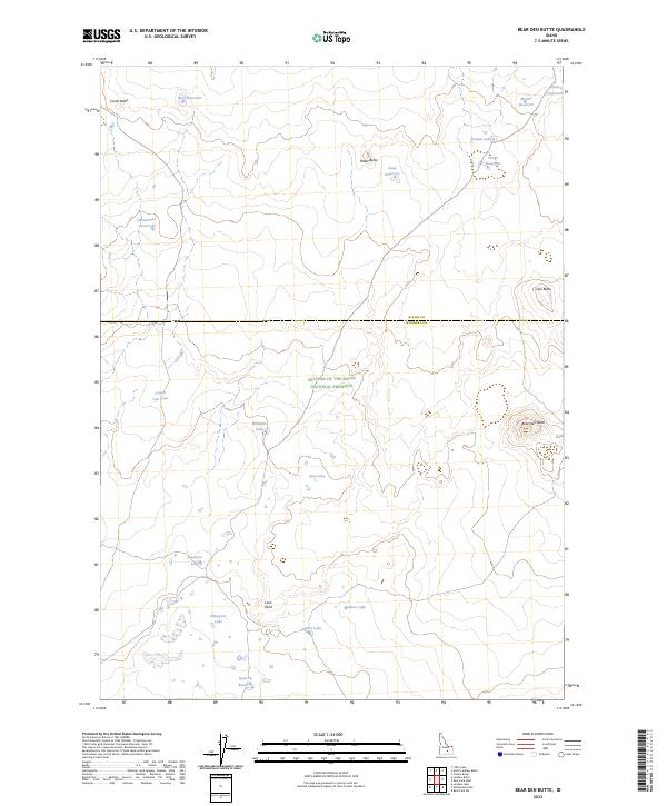
2023 Map of Bear Den Butte
USGS Topo · Published 2023About this map
Craters of the Moon National Preserve occupies the central portion of this Idaho landscape, where the boundary between Blaine and Minidoka counties divides an arid volcanic terrain. The map details a series of volcanic landforms and isolated water sources essential for cattle ranching in the high desert. Prominent elevations like Bear Den Butte, Corral Butte, and Lava Butte rise above the surrounding flats, while Lava Point marks a distinct topographical break.
Find a feature on this map
26 named features on this map. Tap any name to fly to it.
Don’t see what you’re looking for? This feature index may not catch every label — zoom into the map to look around manually.
Map Details
Editions of this 2023 Bear Den Butte Map
This is the sole edition of this map. No revisions or reprints were ever made.
Other maps of this area

1955 · Idaho Falls
USGS Topo · 1:250,000

1958 · Idaho Falls
USGS Topo · 1:250,000

1972 · North Laidlaw Butte
USGS Topo · 1:24,000

1972 · Little Park
USGS Topo · 1:24,000

1972 · Bear Park SW
USGS Topo · 1:24,000

1972 · Laidlaw Lake
USGS Topo · 1:24,000

1972 · Bear Den Butte
USGS Topo · 1:24,000

1972 · Laidlaw Butte
USGS Topo · 1:24,000

1972 · Bottleneck Lake
USGS Topo · 1:24,000

1972 · Bear Park West
USGS Topo · 1:24,000