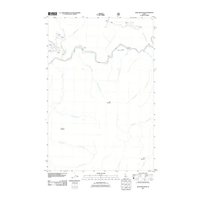
2011 Map of Bear Mountain
USGS Topo · Published 2011About this map
The Lochsa River carves a central path through this Idaho County wilderness, serving as the primary corridor for travel and recreation. Along its northern banks, the Jerry Johnson Campground stands as a focal point for visitors, situated near the confluence of several mountain drainages including Postoffice Creek and Colgate Creek. The landscape is defined by significant elevations such as Bear Mountain and Freezeout Mountain, which overlook a network of tributary waters like Kinnikinnick Creek and Warm Springs Creek.
Find a feature on this map
17 named features on this map. Tap any name to fly to it.
Don’t see what you’re looking for? This feature index may not catch every label — zoom into the map to look around manually.
Map Details
Editions of this 2011 Bear Mountain Map
This is the sole edition of this map. No revisions or reprints were ever made.
Other maps of this area

1911 · Lolo
USGS Topo · 1:250,000

1913 · Lolo
USGS Topo · 1:250,000

1956 · Hamilton
USGS Topo · 1:250,000

1959 · Hamilton
USGS Topo · 1:250,000

1960 · Hamilton
USGS Topo · 1:250,000

1964 · Hamilton
USGS Topo · 1:250,000

1965 · Horseshoe Lake
USGS Topo · 1:24,000

1966 · Mc Connell Mtn
USGS Topo · 1:24,000
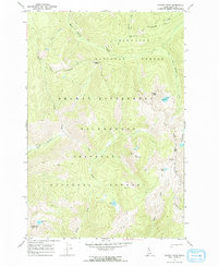
1966 · Hungry Rock
USGS Topo · 1:24,000
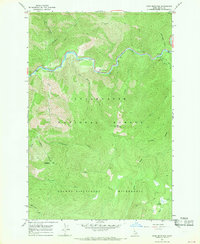
1966 · Bear Mountain
USGS Topo · 1:24,000