
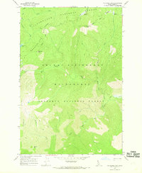
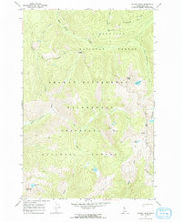
1966 Map of Mc Connell Mtn
USGS Topo · Published 1968About this map
Mc Connell Mtn stands as a central peak in this high-altitude landscape where the Clearwater National Forest meets the Nezperce National Forest. The 1966 field survey documents a wilderness nearly untouched by permanent development, defined instead by an extensive network of Pack Trails and Trails that provided the only access through the Selway-Bitterroot Wilderness. Distinctive terrain features such as Wounded Doe Ridge and Barren Ridge frame a watershed where numerous creeks, including Gypsy Creek, California Creek, and the many forks of Moose Creek, drain the high country. Natural clearings like Lost Knife Meadows and Chain Meadows offer a unique look at the mid-century wilderness character of Idaho County. This map is essential for tracing historic backcountry routes and named landmarks like California Point and Barren Hill.
Find a feature on this map
27 named features on this map. Tap any name to fly to it.
Don’t see what you’re looking for? This feature index may not catch every label — zoom into the map to look around manually.
Map Details
Editions of this 1966 Mc Connell Mtn Map
2 editions found
Other maps of this area

1911 · Lolo
USGS Topo · 1:250,000

1913 · Lolo
USGS Topo · 1:250,000

1956 · Hamilton
USGS Topo · 1:250,000

1959 · Hamilton
USGS Topo · 1:250,000

1960 · Hamilton
USGS Topo · 1:250,000

1964 · Hamilton
USGS Topo · 1:250,000
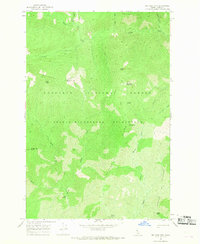
1966 · Big Rock Mtn
USGS Topo · 1:24,000
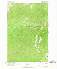
1966 · Freeman Peak
USGS Topo · 1:24,000
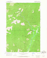
1966 · Shissler Peak
USGS Topo · 1:24,000
1966 · Hungry Rock
USGS Topo · 1:24,000