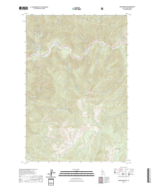
2024 Map of Bear Mountain
USGS Topo · Published 2024About this map
The Lochsa River winds through the northern reaches of this Idaho County landscape, flowing within the protected corridor of the Middle Fork Clearwater Wild and Scenic River. This high-altitude terrain is defined by the sharp elevations of Bear Mtn and Freezeout Mtn, situated within the expansive Clearwater National Forest and the Selway-Bitterroot Wilderness. A notable geothermal feature, Colgate Warm Springs, is located near the riverbank, marking a point of interest along the waterway where numerous tributaries like Postoffice Creek and Kinnikinnick Creek descend from the ridges. Further south, Wag Meadows offers a rare break in the timbered slopes near the headwaters of Wag Creek, illustrating the remote and untouched character of the Bitterroot backcountry.
Find a feature on this map
31 named features on this map. Tap any name to fly to it.
Don’t see what you’re looking for? This feature index may not catch every label — zoom into the map to look around manually.
Map Details
Editions of this 2024 Bear Mountain Map
This is the sole edition of this map. No revisions or reprints were ever made.
Other maps of this area

1911 · Lolo
USGS Topo · 1:250,000

1913 · Lolo
USGS Topo · 1:250,000

1956 · Hamilton
USGS Topo · 1:250,000

1959 · Hamilton
USGS Topo · 1:250,000

1960 · Hamilton
USGS Topo · 1:250,000

1964 · Hamilton
USGS Topo · 1:250,000

1965 · Horseshoe Lake
USGS Topo · 1:24,000

1966 · Mc Connell Mtn
USGS Topo · 1:24,000
1966 · Hungry Rock
USGS Topo · 1:24,000
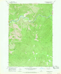
1966 · Bear Mountain
USGS Topo · 1:24,000