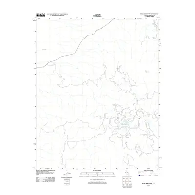
2012 Map of Bear Mountain
USGS Topo · Published 2012About this map
Bear Valley sits at the heart of this residential enclave in the Tehachapi Mountains, showing a distinct pattern of suburban development integrated into high-elevation terrain. The settlement is defined by a winding network of named streets such as Sunset Blvd, Bear Valley Rd, and Goldspike Rd that navigate the slopes below the prominent Bear Mountain. Unlike the linear grids of the valley floor, the layout here follows the natural contours, branching into numerous cul-de-sacs like Pinedale Dr and Garces Ct. To the north, the landscape remains more open, characterized by the drainage of Clear Cr and the presence of Campground Dr. The map reflects a modern era of mountain living, where recreation and residence meet in the high country of Kern County.
Find a feature on this map
53 named features on this map. Tap any name to fly to it.
Don’t see what you’re looking for? This feature index may not catch every label — zoom into the map to look around manually.
Map Details
Editions of this 2012 Bear Mountain Map
This is the sole edition of this map. No revisions or reprints were ever made.
Other maps of this area

1914 · Caliente
USGS Topo · 1:125,000

1929 · Bena
USGS Topo · 1:31,680

1930 · Bear Mountain
USGS Topo · 1:31,680

1930 · Arvin
USGS Topo · 1:31,680

1931 · Edison
USGS Topo · 1:31,680

1931 · Tejon Hills
USGS Topo · 1:31,680

1932 · Bena
USGS Topo · 1:31,680

1933 · Arvin
USGS Topo · 1:31,680

1933 · Tejon Hills
USGS Topo · 1:31,680

1933 · Bear Mountain
USGS Topo · 1:31,680